0310L-MONDAY OUTLOOK FROM GARFIELD COUNTY EMERGENCY MANAGEMENT-9/18/23
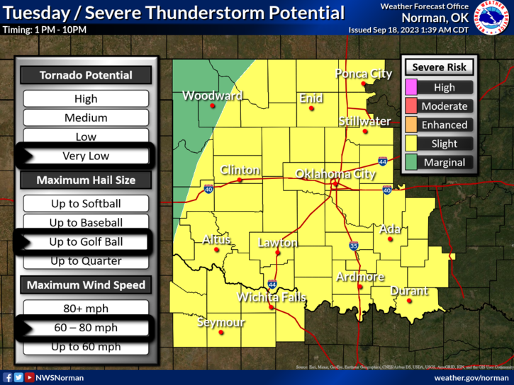
*Nice weather will continue today and then we transition to storm mode for Tuesday through the rest of the week. Tuesday’s possibility for severe weather will be in the slight risk category, and this could change. This doesn’t mean we’ll receive rain all the time but we do stand a decent chance for SOME severe weather. Main threats will be hail and wind. The tornado threat is very low as of the latest guidance. Wind gusts this week could be a little high at times too, so be prepared.
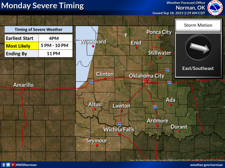
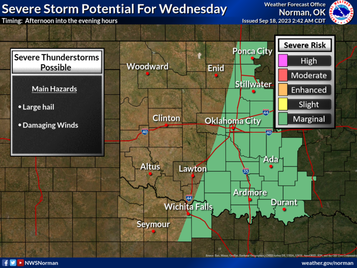
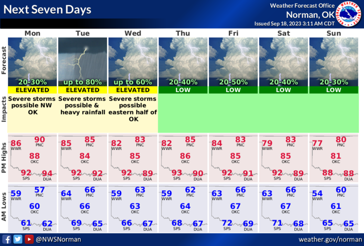
* The graphics that are attached give an overview of where severe weather is expected. Read the top of the graphic first and then analyze the info. Keep in mind that these graphics will change several times today and then again tomorrow as details become clearer. I do have a briefing at 10 this morning with NWS folks and will update this info if needed.
* Overall, we’ll be ok so here is your forecast from the NWS/NORMAN;
Today- Sunny. Highs in the upper 80s. South winds 10 to 15 mph with gusts up to 25 mph.
Tonight- Partly cloudy. A chance of showers and thunderstorms after midnight. Lows in the mid-60s. South winds around 10 mph with gusts up to 20 mph. Chance of rain 30 percent.
**Remember that incidents you EXPERIENCE in life gives you WISDOM for the future.
HAVE A GOOD DAY!