0330L-MONDAY OUTLOOK FROM GARFIELD COUNTY EMERGENCY MANAGEMENT-9/20/21
1- Cooler temps are on the way. Before they get here, we will experience strong southerly winds gusting upwards of 25-30 mph and after FROPA, (Frontal passage) winds will become northerly and very strong. Depending on the arrival of this front, will depend on how hot we will be at that time. Guidance ON TIMING looks like between 11am and 2 pm for us.
2-Humidity will fall dramatically this afternoon so the FIRE DANGER will be up there since the winds will be strong. PLEASE be extremely careful out there. FIREFIGHTERS, grassland FIRE SPREAD rates could be upwards of 200-300 feet “per minute” due to the winds. NO CONTROLLED BURNING TODAY PLEASE. They will get out of control.
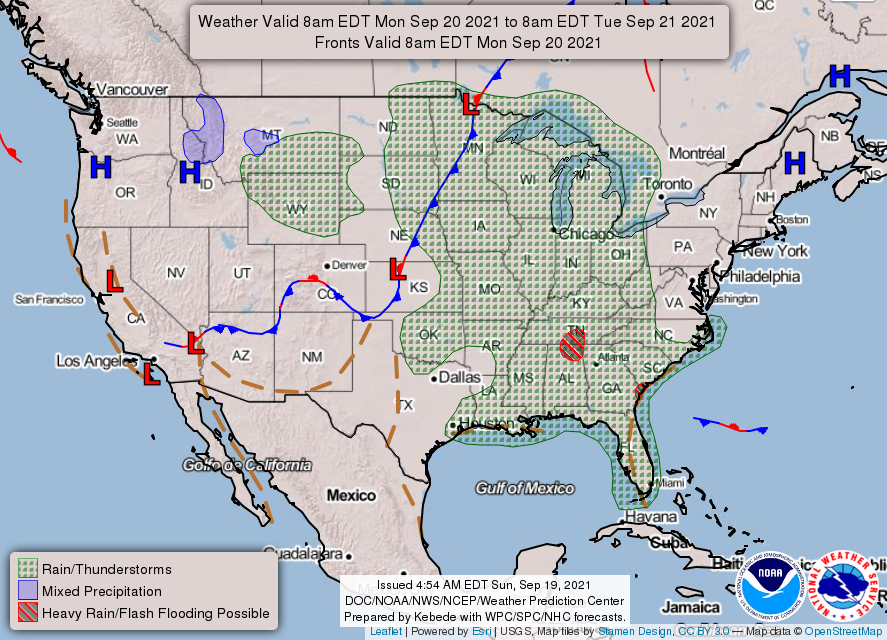
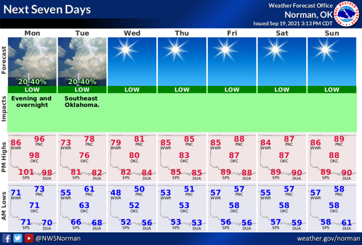
3- Overall, we’ll be ok so we’ll wait on the front and hopefully cooler and less humid weather. Here is your forecast from the NWS/NORMAN;
Today-Partly cloudy early in the morning then clearing. A slight chance of thunderstorms early in the morning. Highs in the upper 90s. South winds 15 to 25 mph shifting to the northwest 15 to 20 mph with higher gusts, in the afternoon. Chance of thunderstorms 20 percent.
Tonight-Partly cloudy with a chance of thunderstorms. Cooler. Lows in the upper 50s. North winds 15 to 20 mph with higher gusts. Chance of thunderstorms 50 percent.
Download our GARFIELD COUNTY EM app. It just could SAVE YOUR LIFE!
STAY SAFE
MIKE