0415L-Monday Update from Enid/Garfield County Emergency Management-9/3/18
1-THERE WILL BE NO SIREN TESTS TODAY IN ENID OR BRECKENRIDGE.
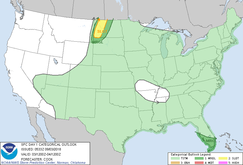
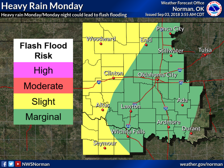
2- We are in a GENERAL RISK again today for thunderstorms. As you saw yesterday, there were quite a few out west. There should be more coverage today but a lessor risk for any severe weather. IF storms are severe, it will be due to hail and or winds. Keep in mind that if we see training storms today, flooding may occur in low lying areas so be careful while driving.
3- Overall, we’ll be cooler this week. Highs will average in the 80’s and overnight lows in the mid to upper 60’s to low 70’s. We’ll have a chance for thunderstorms from now into next weekend.
4- Here is your forecast from the NWS/NORMAN;
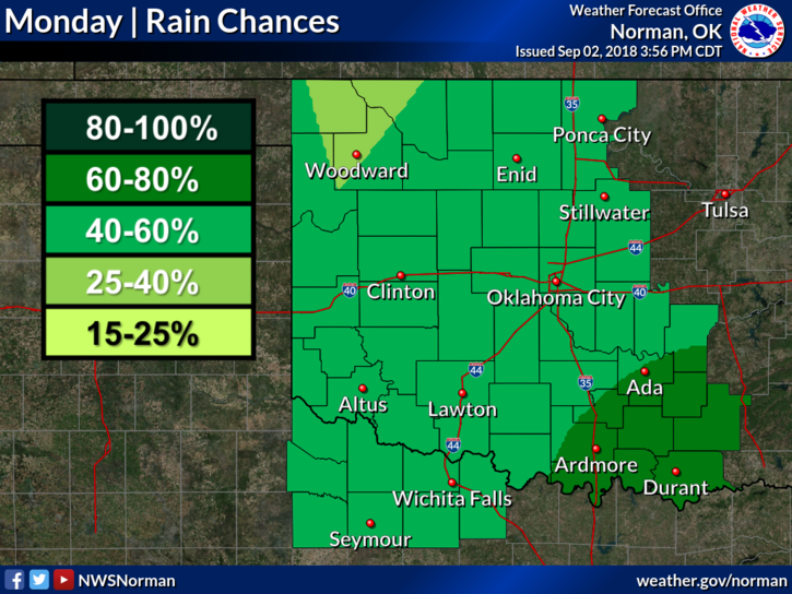
Today-Increasing clouds. A slight chance of thunderstorms in the morning, then a chance of thunderstorms in the afternoon. Highs in the lower 80s. Southeast winds 10 to 15 mph. Chance of thunderstorms 50 percent.
Tonight-Mostly cloudy with thunderstorms likely. Lows in the lower 70s. Southeast winds 10 to 15 mph. Chance of thunderstorms 70 percent.
HAVE A GOOD DAY!!
MIKE