0330L-MONDAY OUTLOOK & INFO FROM GARFIELD COUNTY EMERGENCY MGMT-11/11/19
TO ALL VETERANS, THANK YOU FOR YOUR SERVICE!!
WIND ADVISORY STILL IN EFFECT FROM NOW UNTIL 9PM MONDAY NIGHT.
THE FIRE DANGER WILL BE HIGHER TODAY SO BE EXTREMELY CAREFUL!!
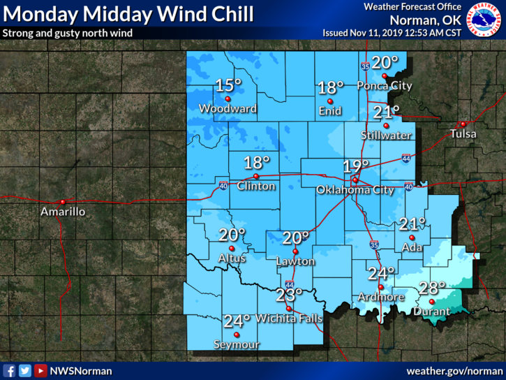
1- The cold front has arrived with the promised strong winds. Wind gusts today could reach upwards of 55mph or so. Just secure anything around the house that hasn’t left the property yet and you should be ok. You may need to apologize to your neighbor..
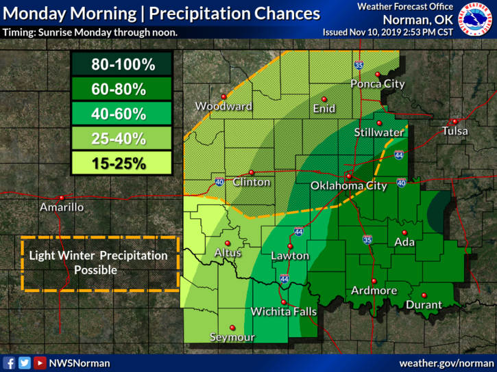
2- Precipitation with this system may still occur but it appears it may only be a trace or so. The much colder air won’t reach us until closer to daybreak give or take. Surface temps are warm so any winter precip should have minimal impacts. This could change but as we get colder today, if precip is falling, stay aware especially of elevated surfaces. We’ll see what happens!
3- I have modified what you will receive over the GARFIELD COUNTY EM app to account for this event from the NWS. If you don’t have our app, you are NOT PREPARED.
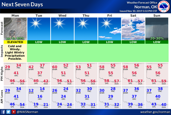
4- Overall, we’ll be ok but hang on to your hats, caps, and be careful with an umbrella. Here is your county-wide forecast from the NWS/NORMAN;
Today-Decreasing clouds. A chance of drizzle or light freezing drizzle early in the morning, then a chance of drizzle or a slight chance of light freezing drizzle or very light snow late in the morning. Windy. Much colder. Highs in the mid-30s. North winds 20 to 30 mph with gusts to around 45 mph. Chance of precipitation 20 percent.
Tonight-Clear, colder. Lows around 14. North winds 10 to 20 mph
WEAR A COAT AND HAVE A GOOD DAY!!
MIKE