0415L-SATURDAY OUTLOOK & INFO FROM GARFIELD COUNTY EMERGENCY MGMT-4/11/2020
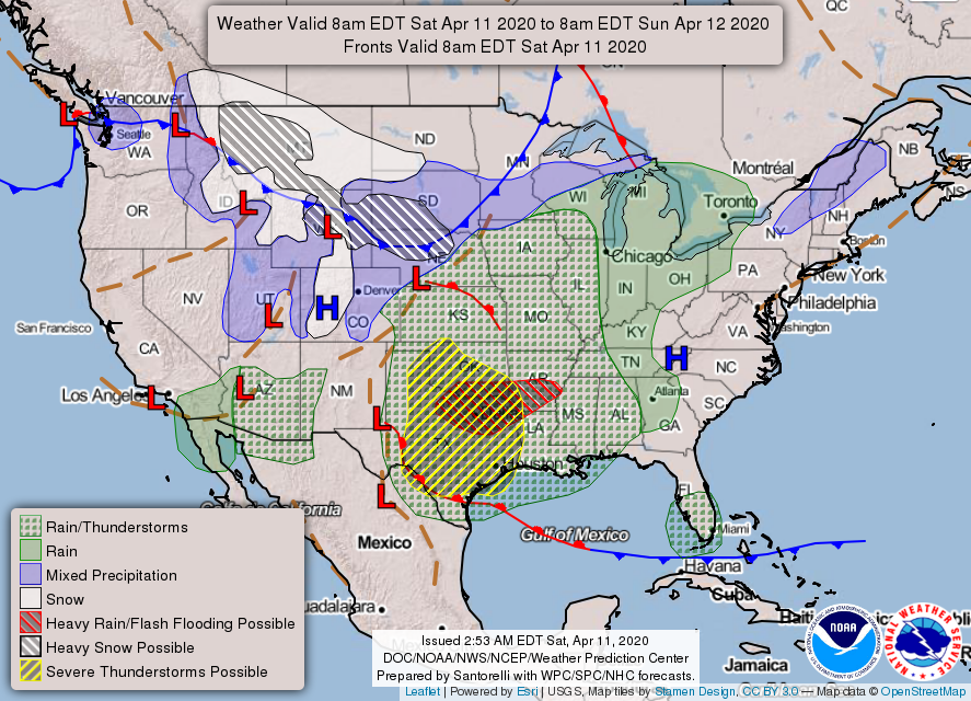
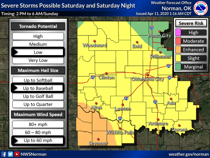
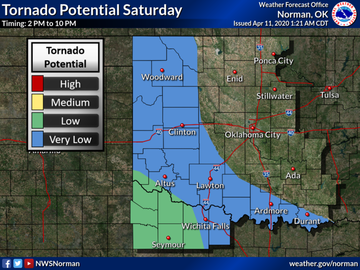
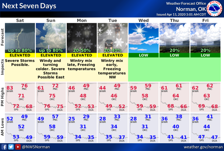
1- SLIGHT RISK FOR SEVERE WEATHER LATER TODAY AND TONIGHT FOR OUR AREA. Per SPC/NWS guidance, large hail and winds will be our greatest threats IF storms occur. We’ll watch and advise as needed. See and read the attached graphics and remember that these will change some during the day. Make sure you have our GARFIELD COUNTY EM app so you get any warnings from the NWS and us of course.
2-The Garfield County Health Dept will post info on the COVID 19 Virus as needed today.
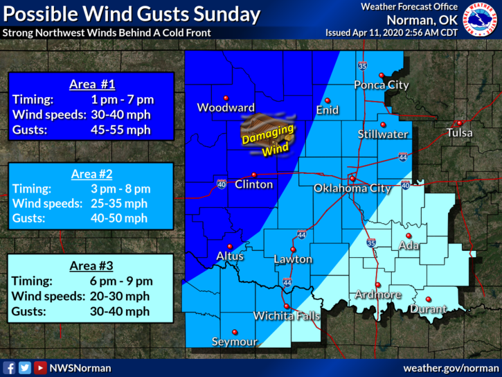
3- Sunday will be extremely windy after a strong cold front pushes in. Secure anything that could take flight today so your stuff doesn’t become your neighbors stuff down the street.
4- Here is your forecast from the NWS/NORMAN;
Today-Partly cloudy with a slight chance of thunderstorms late in the afternoon. Warmer with highs in the upper 70s. South winds 10 to 20 mph. Chance of thunderstorms 20 percent.
Tonight-Mostly cloudy with a slight chance of thunderstorms. Some thunderstorms may be severe. Lows in the mid-50s with south winds 15 to 20 mph. Chance of thunderstorms 20 percent.
DIRECTORS COMMENT
Storm season is here so I am asking you; do you have a storm season plan? If not, you should take the time where ever you are to look around and come up with that plan so when crazy things start to happen you’ll have an idea what you’re going to do and/or where you are going to go. REMEMBER, Decision Making while you are emotional usually doesn’t work, thus the planning idea. I use the virus situation as an example. Folks went out and bought toilet paper because of a virus that is respiratory and not intestinal. Don’t let the media dictate what you do. HAVE A PLAN in place and make the best LOGICAL DECISIONS that you can.
HAVE A SUPER DAY
MIKE