0405L-SATURDAY OUTLOOK & INFO FROM GARFIELD COUNTY EMERGENCY MANAGEMENT-8/3/19
1- Some apps are important and so is being prepared. If you don’t have our GARFIELD COUNTY EM app, you’re not prepared and that’s an important choice!!
2- We are in a GENERAL RISK AREA for thunderstorms. As the day moves forward, that risk will lessen some. It will be cooler with a chance for thunderstorms. Even though we will be cooler, humidity will be up so be careful while working outdoors.
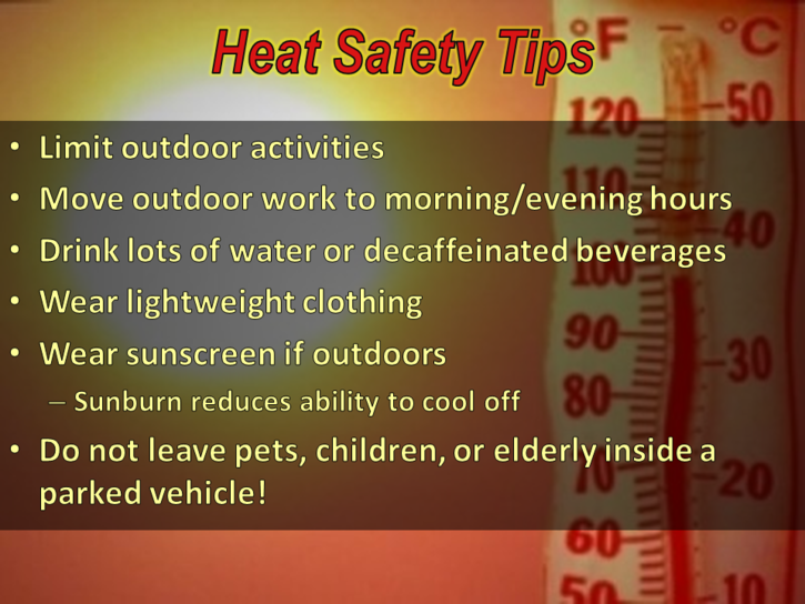
3- Actual rain chances are low and without substantial rainfall, drought conditions are becoming apparent. We are dry and this means the FIRE DANGER is here and will be around for quite some time. Be careful utilizing anything related to fire and as stated a few days ago, if you mess up, call 911.
4- Here is your forecast from the NWS/NORMAN;
Saturday- Mostly cloudy with a chance of thunderstorms in the morning then a slight chance in the afternoon. Highs in the lower 80s with east winds around 10 mph. Chance of thunderstorms 50 percent.
Saturday Night- Partly cloudy with a slight chance of thunderstorms. Lows in the upper 60s. East winds up to 10 mph in the evening becoming light and variable. Chance of thunderstorms 20 percent.
HAVE A GOOD DAY!!
MIKE