0400L-SATURDAY OUTLOOK AND INFO FROM GARFIELD COUNTY EMERGENCY MANAGEMENT-7/20/19
FEMA DISASTER INFORMATION BELOW. FEEL FREE TO PASS THIS AROUND
GARFIELD COUNTY EM. You know this is our notification app. You know you’ll eventually need it. You need to download it so you’re as prepared as we are.
1- HEAT ADVISORY FROM 11 AM THIS MORNING UNTIL 8PM THIS EVENING. Use caution while working outdoors this afternoon. Heat index values near 106 are possible.
2- FEMA’s Mobile Disaster Relief Center, (MDRC) will be open today from 10am this morning until 6pm this evening. Their location will be at 216 West Oxford in the EAST training room. Park in the EAST parking lot and come on in. If anyone was affected by the storms & flooding and you need information and/or help, come by and speak with FEMA officials. They will be closed on Sunday and will be back here Monday through Saturday next week from 8am until 6pm.
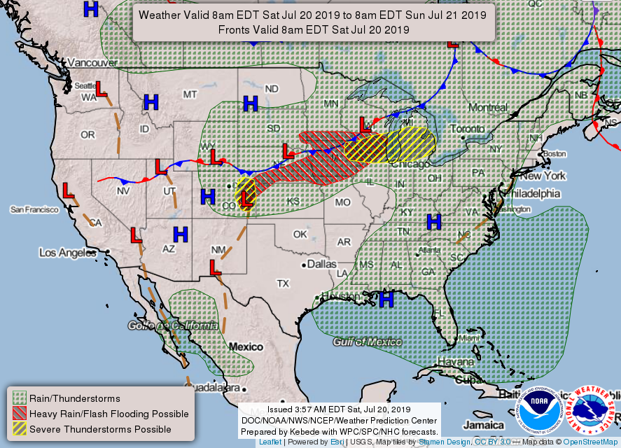
3- A cold front will push through some time later tomorrow. It will dramatically cool us down so I think most folks are ready for some cooler weather. We’ll see what guidance has to say tomorrow morning. Until then, stay cool.
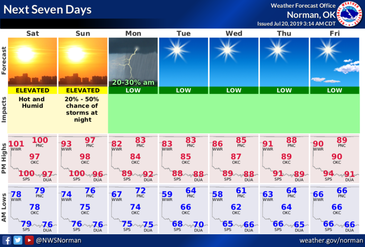
4- Here is your forecast from the NWS/NORMAN;
Saturday-Sunny and hot with a high near 101. Heat index values as high as 106. South winds 15 to 20 mph gusting as high as 28 mph.
Saturday Night-Mostly clear with a low around 75. South winds 10 to 20 mph gusting as high as 25 mph.
STAY COOL!!
MIKE