0400L-SATURDAY UPDATE FROM ENID/GARFIELD COUNTY EMERGENCY MANAGEMENT-7/28/18
1- GUSTY WINDS WILL AFFECT THE AREA FOR A LITTLE WHILE THIS MORNING AS SOME SHOWERS MOVE INTO THE AREA. These showers are the remnants of severe storms that were in Kansas during the overnight hours. Gusty winds will be the main issue for a while this morning.
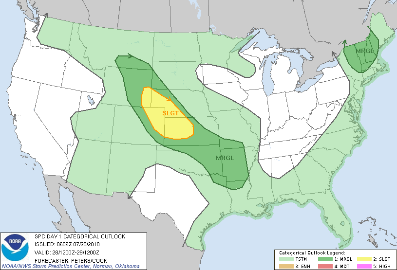
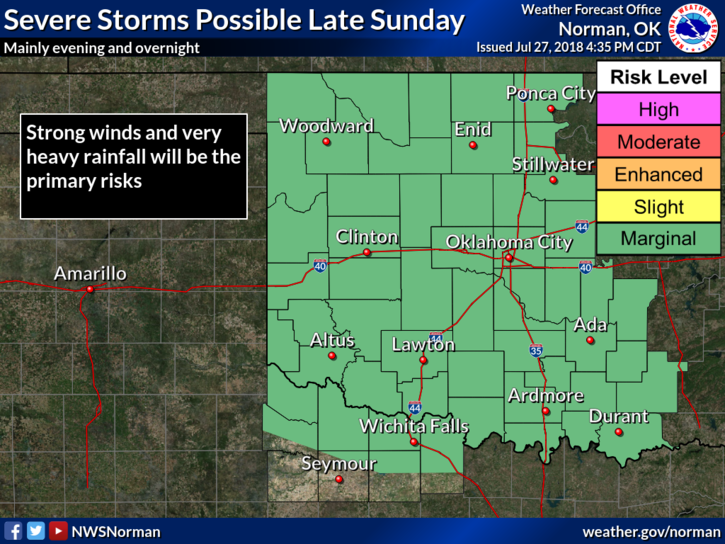
2- We are in another MARGINAL RISK for severe weather later today and the higher threat will be NW of us in western Kansas and northeastern Colorado. If traveling that way, be careful and stay weather aware.
3- Storms tonight may just graze us per guidance with the stronger energy moving just to our NE. I will wash my truck today and see what happens.
4- Overall, we’ll be ok. Here is your forecast from the NWS/NORMAN;
Today-Cloudy with a chance of thunderstorms early in the morning, then partly cloudy with a slight chance of thunderstorms late in the morning. Partly cloudy in the afternoon. Highs in the mid 90s. Light and variable winds becoming south around 10 mph in the afternoon. Chance of thunderstorms 30 percent.
Tonight-Partly cloudy. A slight chance of thunderstorms in the evening, then thunderstorms likely after midnight. Lows in the upper 60s. Southeast winds around 10 mph. Chance of thunderstorms 60 percent.
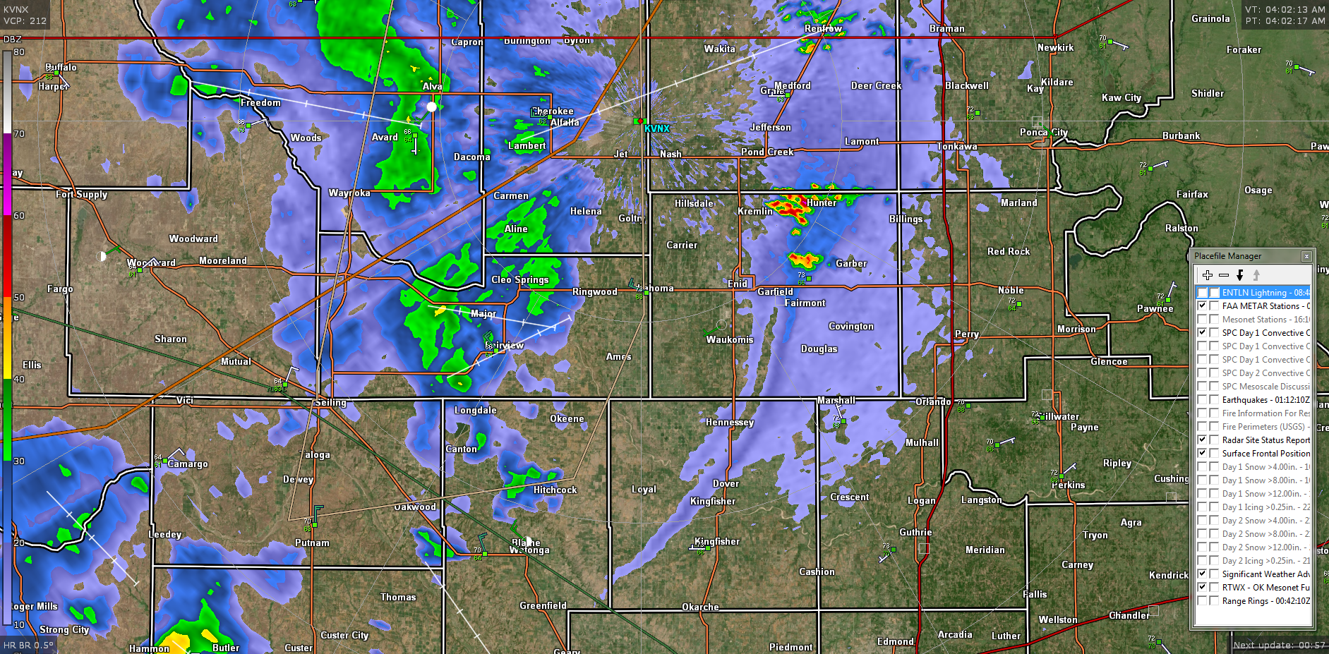
FINALLY, THE RADAR PIC IS FROM 0402 LOCAL THIS MORNING. IT SHOWS A NICE OUTFLOW BOUNDARY FROM THESE DECAYING STORMS.
I’LL ADVISE AS NEEDED.
MIKE