0425L-FRIDAY UPDATE FROM ENID/GARFIELD COUNTY EMERGENCY MANAGEMENT-7/27/18
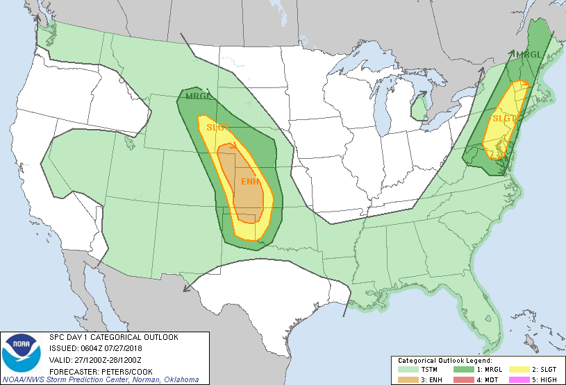
1- MARGINAL RISK FOR SEVERE WEATHER TODAY “THROUGH THE WEEKEND” This doesn’t mean it will storm all the time but the potential will be around today and all weekend. We’ll see how all of this develops.
2- The higher risks for today are out west so check the forecast of your destination if you plan on traveling that way. See the graph below for the estimated impacts to specific areas and understand that the lines on that graph are not set in stone. They will move some during the day.
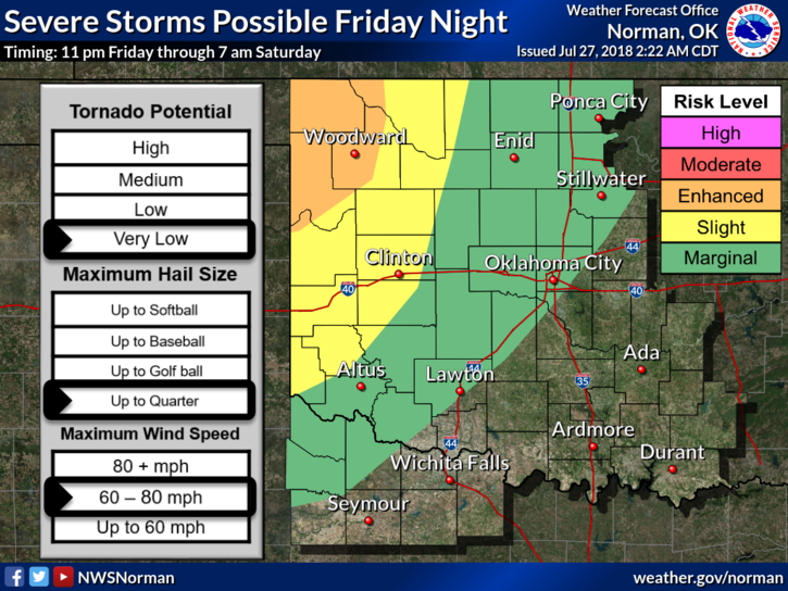
3- For us, IF STORMS OCCUR, expect HEAVY RAINFALL with WINDS being the main issue besides a flooding potential. Storms will be slow moving so keep that in mind. This will be more prevalent Saturday night into Sunday morning. Updates will be posted and advisories sent as needed throughout the weekend.
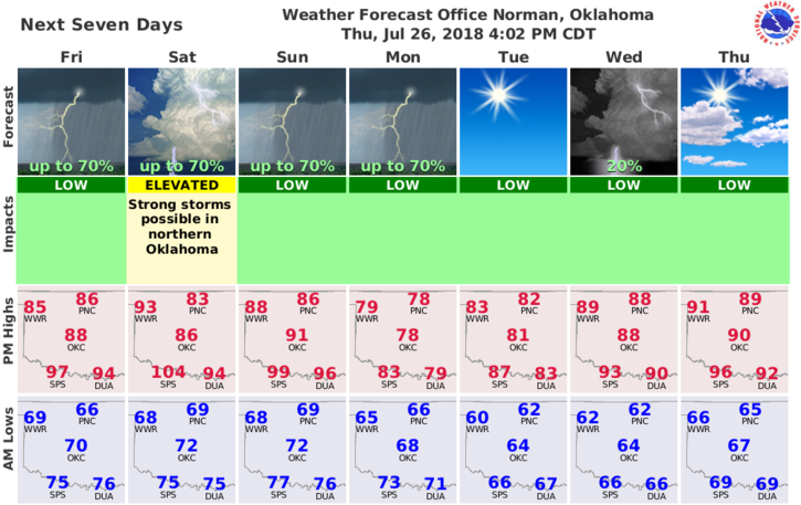
4- Here is your forecast from the NWS/NORMAN;
Friday-Partly cloudy. Highs in the upper 80s. East winds around 10 mph.
Friday Night-Partly cloudy. A slight chance of showers and thunderstorms in the evening, then showers and thunderstorms likely after midnight. Lows in the upper 60s. Southeast winds around 10 mph. Chance of precipitation 60 percent.
Finally, I will send an update over the GARFIELD COUNTY EM app later this morning OR this afternoon as forecasts are modified.
HAVE A SUPER DAY!!
MIKE