0430L-SATURDAY OUTLOOK FROM GARFIELD COUNTY EMERGENCY MANAGEMENT-6/12/21
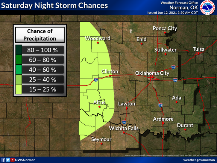
1- Thunderstorm chances lessen after Saturday night and the heat is on, with less humidity over the up and coming week. Our pattern is changing a little and now we are under NW flow. This means we MAY see storms develop in the high plains areas in New Mexico and Colorado and then drift our way. That said, we may see storms later tonight coming in from the west and or northwest.
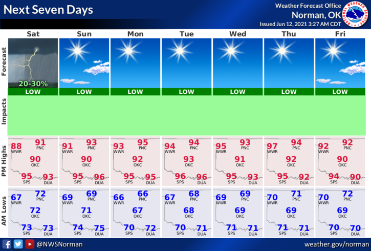
2- After tonight a ridge of high pressure will once again change our pattern and we should see less humidity and temps will increase. Rain won’t be in the forecast, as it looks right now, for the next week. Per guidance, there might be something happening in the northern Gulf area late next weekend. We’ll wait and see.
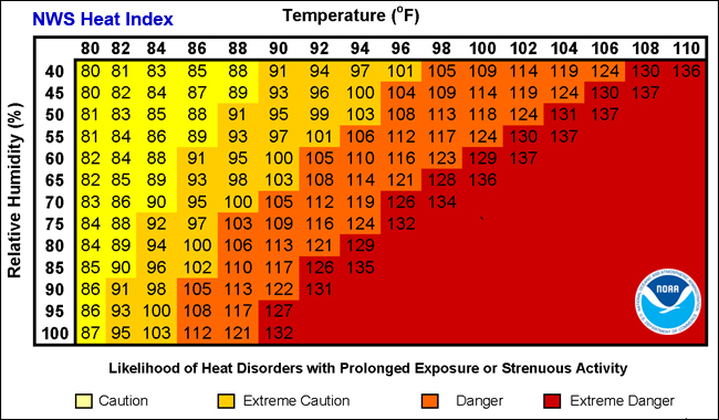
3-For now, enjoy a slightly cooler day with a touch less humidity. No heat advisory is expected but our Heat Index should remain below 100. Here is your forecast from the NWS/NORMAN;
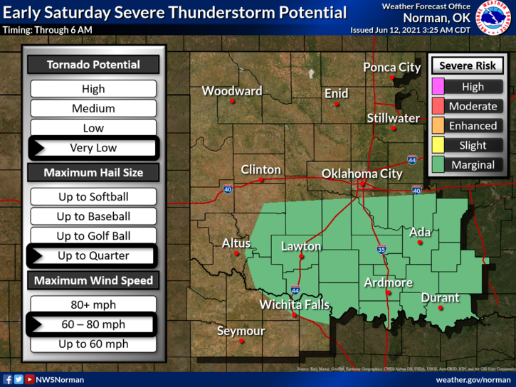
Today- Decreasing clouds. A slight chance of thunderstorms in the morning. Highs in the lower 90s. Northeast winds around 10 mph. Chance of thunderstorms 20 percent.
Tonight- Partly cloudy. Lows in the upper 60s. East winds around 10 mph in the evening becoming light and variable.
Be sure to download our GARFIELD COUNTY EM app. It can help you have peace of mind without the drama. 😊
HAVE A GOOD DAY!!
MIKE