0340L-SATURDAY OUTLOOK FROM GARFIELD COUNTY EMERGENCY MANAGEMENT-6/25/2022
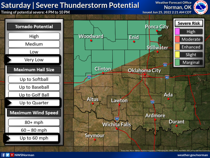
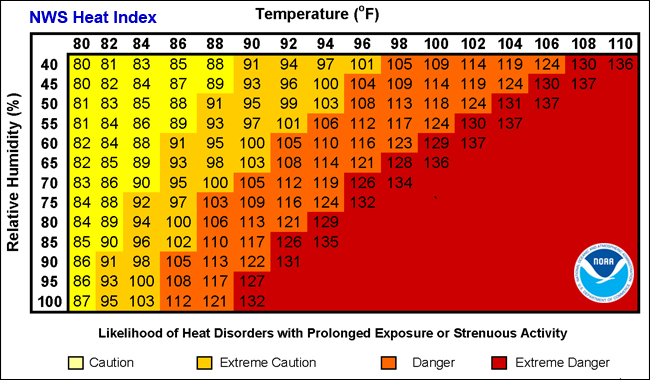
1- HEAT ADVISORY IN EFFECT FROM 1PM UNTIL 8PM THIS EVENING. We could see the heat index reach 105 today. We are also in a MARGINAL THUNDERSTORM RISK area for strong to severe storms later this afternoon into the evening hours as a cold front pushes into the area. If storms occur, damaging winds and hail would be our main threats.
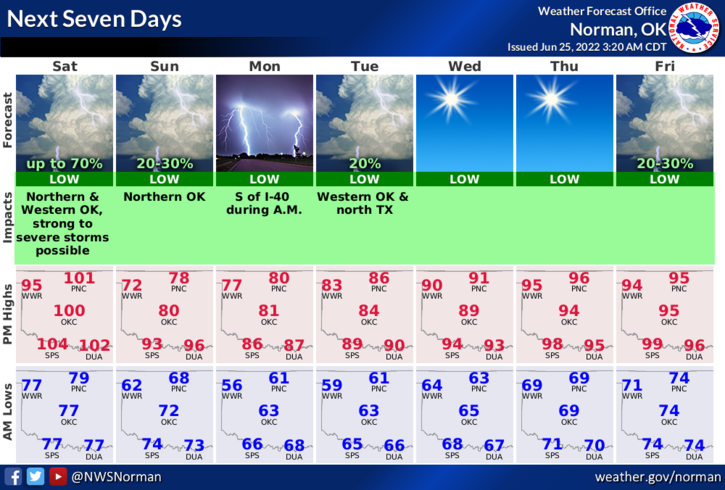
2- COOLER temps will be the main feature after frontal passage as highs on Sunday may only reach into the mid-70s. We do need the rain but the temps will be very welcome to take a short break from the heat. Temps will return into the mid-90s by mid-week.
3- Overall, we’ll be ok so stay cool and here is your forecast from the NWS/NORMAN;
Saturday-Sunny and hot, with a high near 102. South wind 10 to 18 mph becoming northwest in the afternoon. Winds could gust as high as 28 mph.
Saturday Night-50 percent chance of showers and thunderstorms. Mostly cloudy, with a low around 67. North wind 16 to 22 mph, with gusts as high as 33 mph. New rainfall amounts of less than a tenth of an inch, except higher amounts possible in thunderstorms.
WILL ADVISE AS NEEDED AND HAVE A GOOD DAY.