0310L-SUNDAY OUTLOOK FROM GARFIELD COUNTY EMERGENCY MANAGEMENT-6/26/22
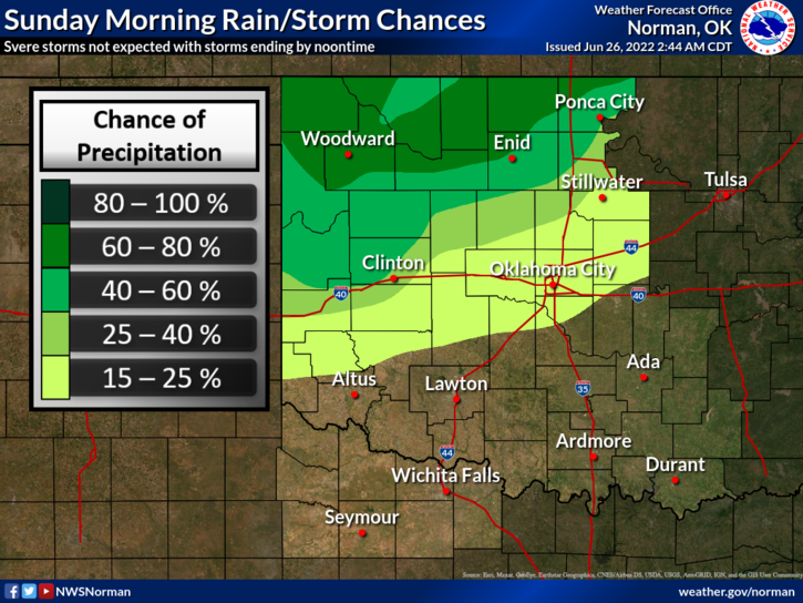
1- Showers and thunderstorms will affect the area this morning. If any storms go severe, it would be due to WINDS and possibly hail. Cooler air is coming along with the rain at the time of this typing, 0250L, so we’ll see what we receive.
2- Here is your forecast from the NWS/NORMAN;
Today-Mostly cloudy with a chance of showers and thunderstorms this morning, then mostly sunny this afternoon. Much cooler with highs around 80. Northeast winds 15 to 20 mph with gusts up to 30 mph. Chance of rain 50 percent.
Tonight-Partly cloudy in the evening, then becoming mostly cloudy. Lows in the lower 60s. North winds 10 to 15 mph.
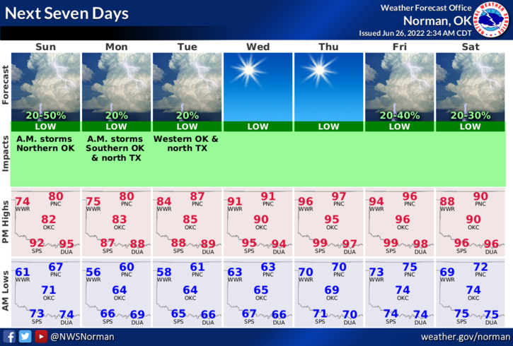
3- Temps through roughly mid-week will be 20 degrees lower than what we have been dealing with since the heatwave hit so remember, winter will be here before you know it!
We’ll watch and advise as needed. HAVE A GOOD DAY AND ENJOY THE COOLER WEATHER AND HOPEFULLY SOME RAIN.