0425L-SATURDAY UPDATE FROM ENID/GARFIELD COUNTY EMERGENCY MANAGEMENT-6/9/18
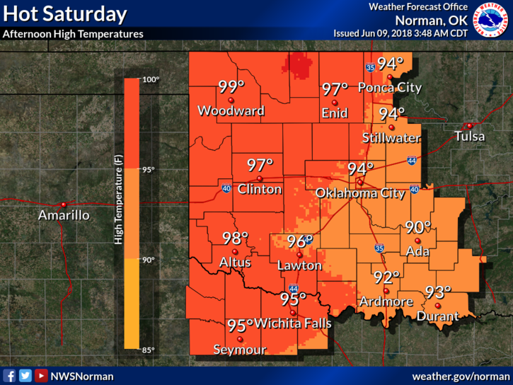
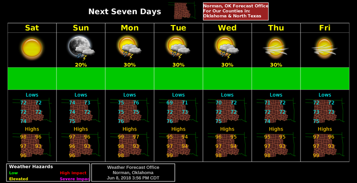
1- Main word for today, HOT. We will average in the mid to upper 90’s for the next 7 days so be prepared for that.
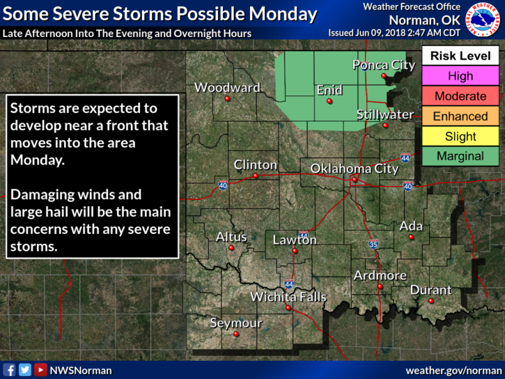
2- We are in a General Risk for thunderstorms meaning storms could form anywhere if they can break the CAP which at this point, looks unlikely. Our next best chance will be Monday as a front moves into the area.
3-Drought wise, Garfield County is still split between an extreme and severe drought conditions. Be careful out there.
4- Here is your forecast from the NWS/NORMAN;
Today-Sunny and hot, with a high near 97. South wind 10 to 15 mph, with gusts as high as 25 mph.
Tonight-Mostly clear, with a low around 74. South wind 10 to 15 mph, with gusts as high as 25 mph.
STAY COOL AND SAFE
MIKE