0415L-SATURDAY OUTLOOK FROM GARFIELD COUNTY EMERGENCY MANAGEMENT-3/13/21
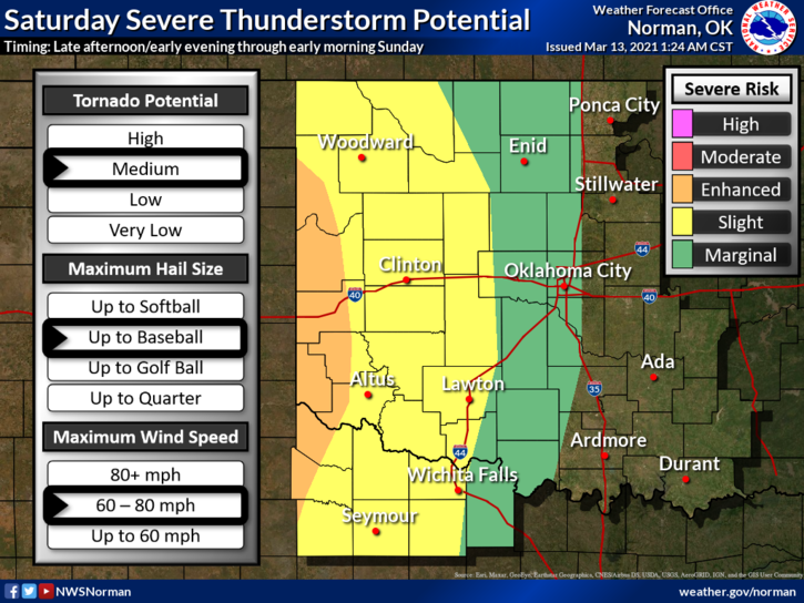
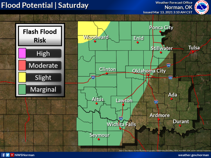
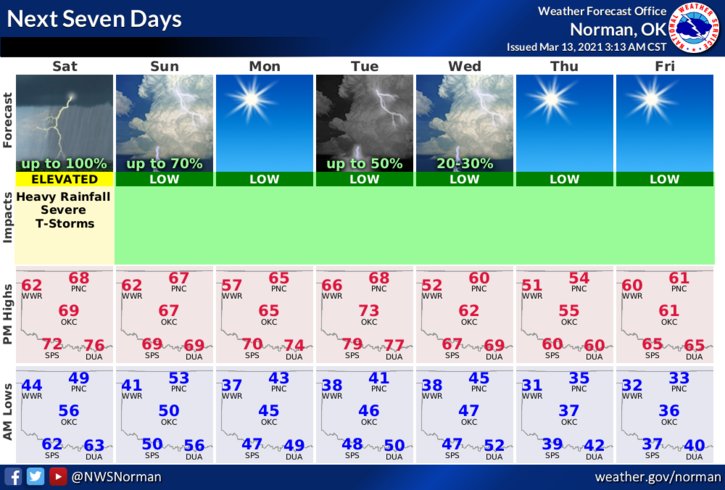
1- MARGINAL RISK FOR SEVERE WEATHER TODAY AND TONIGHT. We remain under a flood watch until 0600 local time. We have received 1.6 inches of rain since rain started last night and some areas of the western and northern part of the county have seen over 2 inches. Additional rainfall today may cause additional flooding potential so be extremely careful especially in low lying areas.
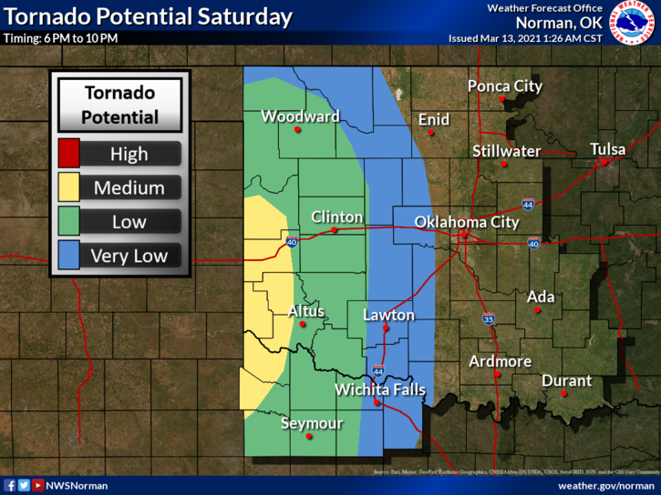
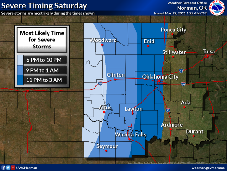
2- Traveling to the west southwest today may be a bit touchy so stay very weather aware as the hail and tornado threat is higher out that way. Our potential here looks to be hail and wind BUT parameters could change as the day progresses so stay aware of weather conditions and we’ll advise as needed.
3- For now, here is your forecast from the NWS/NORMAN;
Today-Areas of fog early in the morning. Cloudy with a chance of thunderstorms. Warmer. Highs in the upper 60s. East winds 10 to 15 mph. Chance of thunderstorms 50 percent.
Tonight-Showers and thunderstorms likely in the evening, then rain showers with thunderstorms likely after midnight. Locally heavy rainfall possible. Lows in the upper 40s. Southeast winds 10 to 20 mph.
FINALLY: Be sure to get our GARFIELD COUNTY EM app. Don’t go through storm season without it.
MIKE