0410L-SATURDAY UPDATE FROM ENID/GARFIELD COUNTY EMERGENCY MANAGEMENT-3/17/18
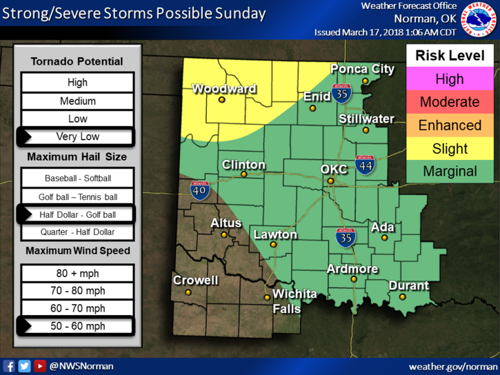
1-Good morning and thanks to everyone for being careful concerning the fire danger out there. PLEASE continue these efforts as we are still very dry. Sunday, we are in a marginal/slight risk area for possibly severe weather late in the day so hopefully we’ll receive something.
2-There are several variables involved in our chance for rain. Even severe weather is ok right now because of the rainfall. IF we have any severe weather, hail and strong winds will be our main threats. The tornado threat is very low BUT as you all know, they can happen if conditions become just right. We’ll watch and advise. If it does rain, enjoy it as it will knock the allergens and dirt down at least for a while.
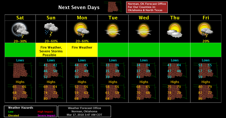
3-For today, light winds and possibly cloudy conditions will be the norm. Here is your forecast from the NWS/NORMAN;
Saturday-Increasing clouds, with a high near 66. North northwest wind 7 to 9 mph becoming northeast in the afternoon.
Saturday Night-Partly cloudy, with a low around 41. East wind 6 to 8 mph.
ENJOY THE DAY!!
MIKE