0425L-SUNDAY UPDATE FROM ENID/GARFIELD COUNTY EMERGENCY MANAGEMENT-3/18/18
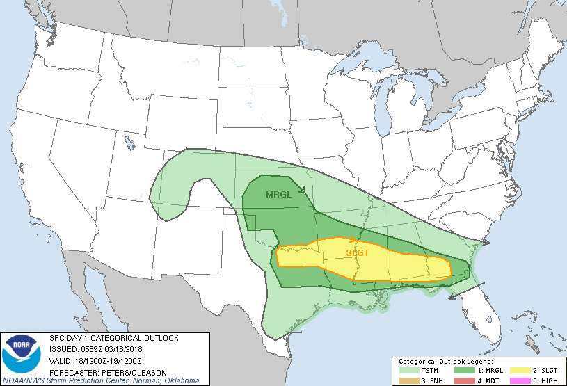
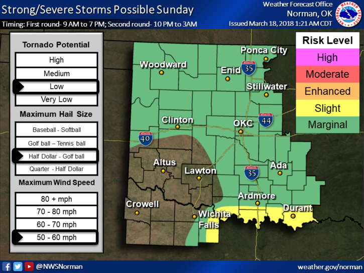
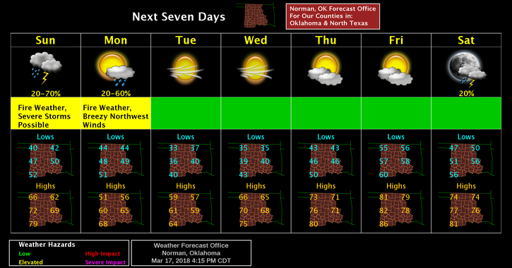
1- Our risk for severe weather has lessened a little but we have a good chance for rain this afternoon and again later this evening and overnight. The higher risk for severe storms will be in southern Oklahoma and North Texas. If you are planning to be in that area, PAY CLOSE ATTENTION to the weather.
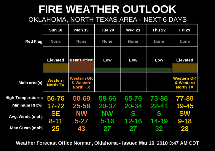
2-Many factors still have to come together but we do stand a better chance for rain and possibly a storm than in the recent past. Per “SPC” Guidance, storms in our area will be elevated thus giving us a higher hail threat. We’ll see how this mess comes together and deal with what nature throws at us. WE’LL BE OK.
3- Here is your forecast directly from the NWS/NORMAN;
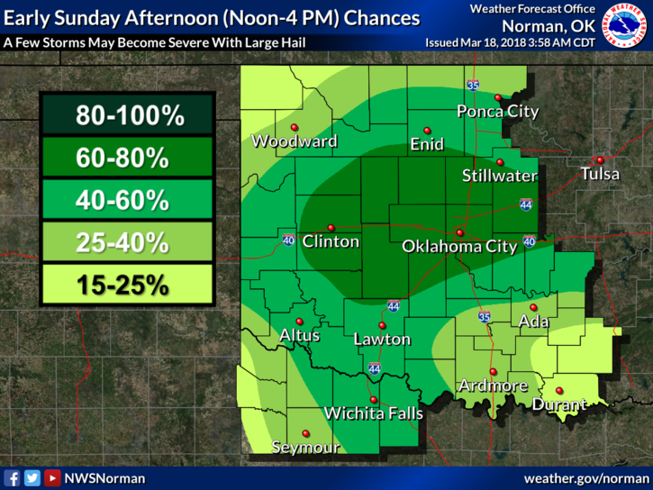
Today-Showers and thunderstorms likely, mainly between 1pm and 4pm. Increasing clouds, with a high near 57. East southeast wind 5 to 10 mph. Chance of precipitation is 60%. New rainfall amounts of less than a tenth of an inch, except higher amounts possible in thunderstorms.
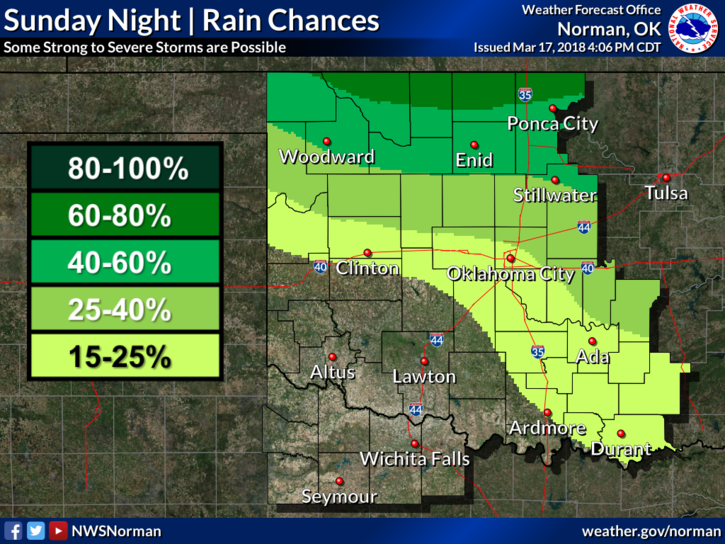
Tonight-50 percent chance of showers and thunderstorms, mainly between 10pm and 4am. Cloudy, then gradually becoming partly cloudy, with a low around 42. East southeast wind 5 to 15 mph becoming west southwest after midnight. Winds could gust as high as 20 mph. New rainfall amounts between a quarter and half of an inch possible.
4-The FIRE DANGER is lower due to higher humidity but don’t let your guard down. Report any smoke or fire to 911.
Have a great day and hopefully we can enjoy some rainfall. We’ll also advise as needed.
MIKE