0350L-SATURDAY OUTLOOK FROM GARFIELD COUNTY EMERGENCY MANAGEMENT-3/23/19
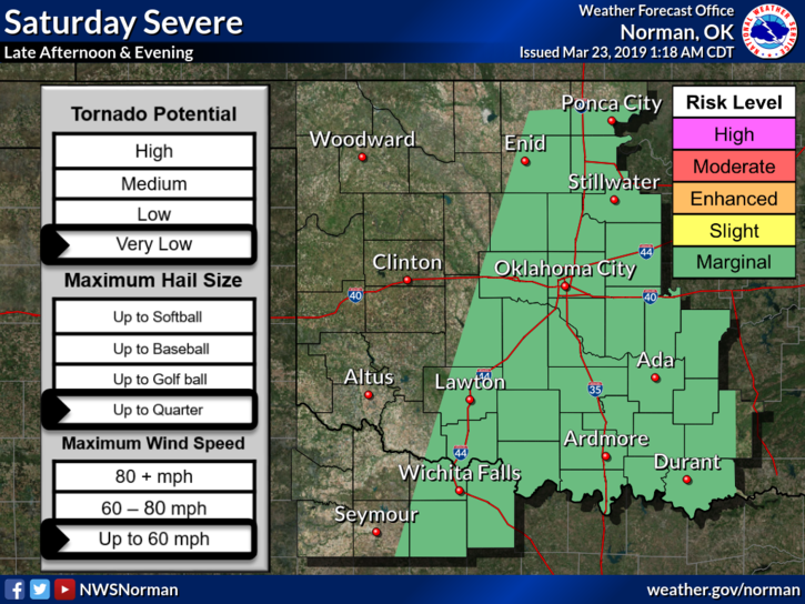
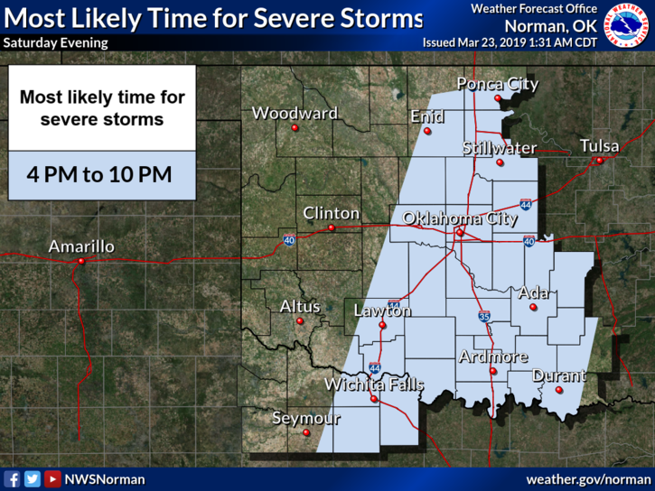
1- A little rain overnight with some thunder. We are in a MARGINAL Risk for severe weather later this afternoon and tonight. We are on the backside of that risk meaning we are not out of the woods. See the first graphic attached. The main severe risks would be winds and hail. Other than this, we should be ok. REMEMBER that these graphs will change some throughout the day.
2- Overall, we’ll be ok. Continue with your plans and STAY WEATHER AWARE.
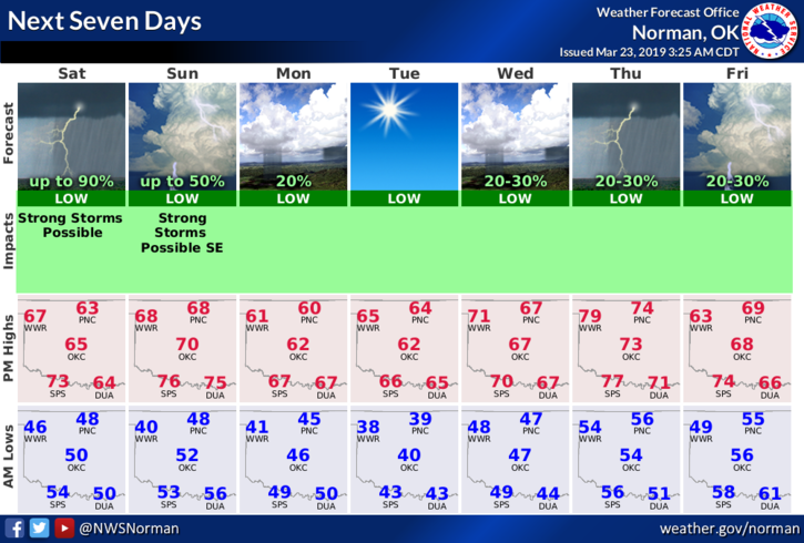
3- Here is your forecast from the NWS/NORMAN;
SATURDAY- Mostly cloudy with rain showers likely. Chance of thunderstorms this morning and later this afternoon. Highs in the upper 60s. South winds around 15 mph. Chance of precipitation 70 percent.
SATURDAY NIGHT- Partly cloudy with a slight chance of thunderstorms. Lows in the mid-40s. Southwest winds 10 to 15 mph. Chance of thunderstorms 20 percent.
HAVE A GOOD DAY and we’ll advise as needed.
MIKE