FROM GARFIELD COUNTY EMERGENCY MANAGEMENT
GOOD MORNING!!
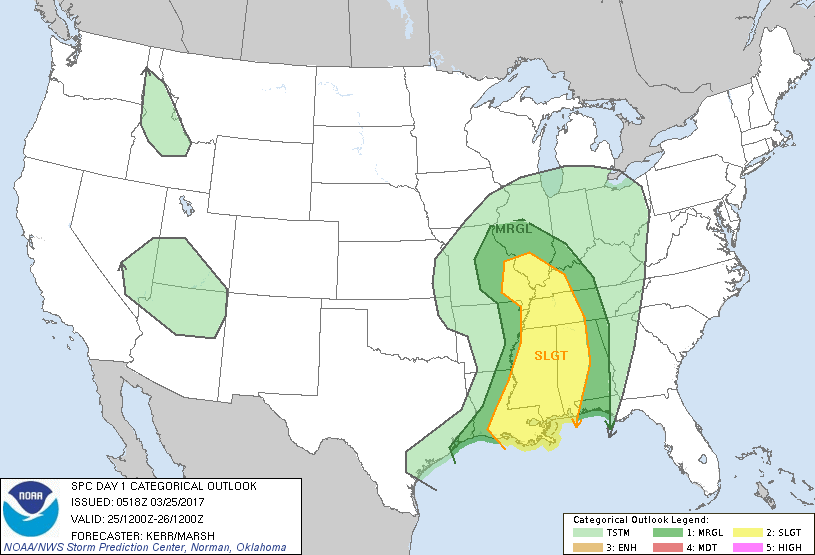
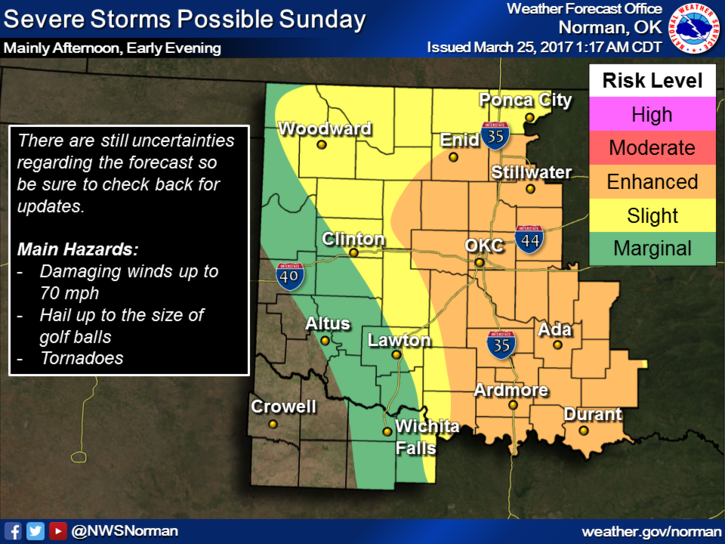
One of the graphics below is showing the predicted possibility for severe weather TOMORROW (Sunday). Now DON’T PANIC. I say this because there are still a few variables out there concerning the intensity and the locations which are still subject to change. Don’t get hung up on where the lines are on the map, they will change some. As the SPC and NWS receive newer info, you can go to their websites and read the discussions and outlooks.
That said, as we move deeper into storm season; just make sure you have your weather and disaster plans set up. DON’T wait until the day of the storm to make any arrangements. Do all of this long before anything ever happens. This is called PEACE OF MIND and KNOWING WHAT DO in the event bad things happen. Right now, I am not worried about tomorrow. As stated above, several variables out there so I’ll continue to monitor.
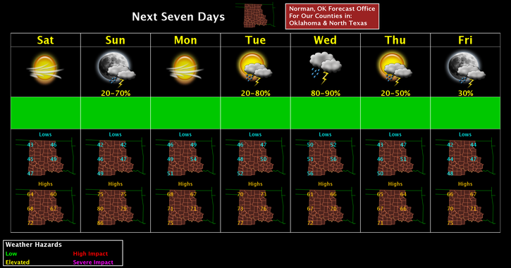
Here is your forecast from the NWS/NORMAN;
Today-Cloudy, then gradually becoming sunny, with a high near 64. North northwest wind 11 to 17 mph, with gusts as high as 24 mph.
Tonight-Mostly clear, with a low around 44. North wind 5 to 7 mph becoming east after midnight.
HAVE A SUPER DAY!!
MIKE