0300L-SATURDAY OUTLOOK FROM GARFIELD COUNTY EMERGENCY MANAGEMENT-3/5/22
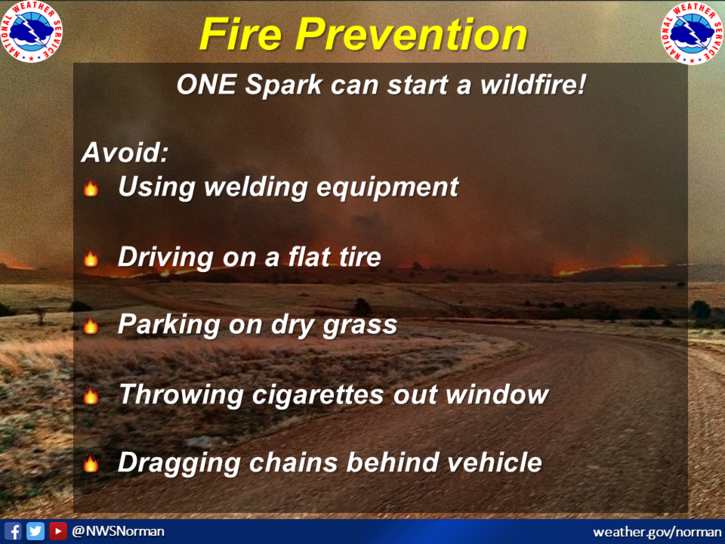
1-RED FLAG FIRE WARNING IN EFFECT from 10 am until 8 pm this evening. Southwest winds 20 to 30 mph with wind gusts upwards of 45 mph are expected. Humidity as low as 10% is also possible. NO CONTROLLED BURNING TODAY. Anyone that smokes, please don’t throw those butts out of the window of your vehicle. They could start a fire later today.
2- Wildland firefighters should know that if a fire does occur with conditions as forecast, fire rates of spread of 200-300 ft/minute could occur with head fire heights at 10-15 feet if in taller grasses. Use EXTREME CAUTION while fighting fire under these dangerous conditions.
3- Weather-wise, warm, windy, and dry. There may be a chance for rain tomorrow. We’ll wait and see what happens. Here is your forecast from the NWS/NORMAN;
Saturday-Partly sunny with patchy drizzle in the morning, then sunny in the afternoon. Windy with highs in the upper 70s. Southwest winds 20 to 30 mph with gusts up to 45 mph.
Saturday Night-Mostly clear. Much cooler with lows in the mid-30s. West winds 10 to 15 mph, becoming north after midnight.
HAVE A GOOD DAY!