0410L-SATURDAY OUTLOOK FROM GARFIELD COUNTY EMERGENCY MANAGEMENT-5/15/21
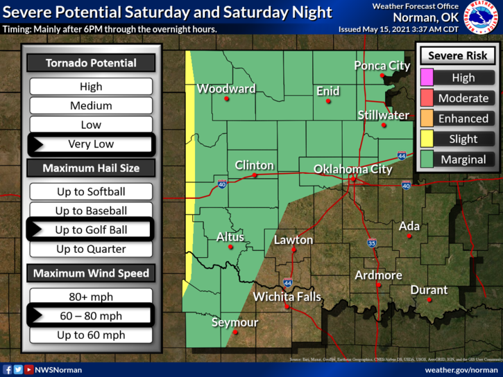
1- We are in a Marginal Risk area for severe weather later today and tonight. There is also a chance for showers and maybe a thunderstorm or two during the day. The severe threat would be for quarter to golf ball size hail and roughly 60-80 mph winds. We’ll see how this pans out. Overall, we’ll be ok so we’ll keep an eye to the sky and advise accordingly.
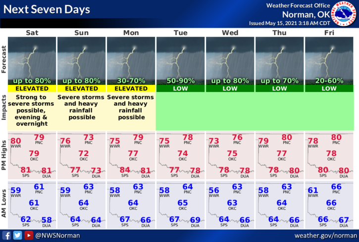
2- Over the next week or so we have a chance for storms each day. It is impossible to say exactly when and where anything may occur as each day is dependent on what happens the night before. This said, with deep moisture, instability, and these troughs that continue to move across the area, we could see rain just about any time. Just be prepared and know what you will do IF the weather decides to get crazy. Have a basic plan wherever you are and you should be ok.
3- As I have stated for years, download our GARFIELD COUNTY EM app. Learn it and understand how it works and we and the NWS will keep you advised during severe weather, and any major event that may happen here in the area. Here is your forecast from the NWS/NORMAN;
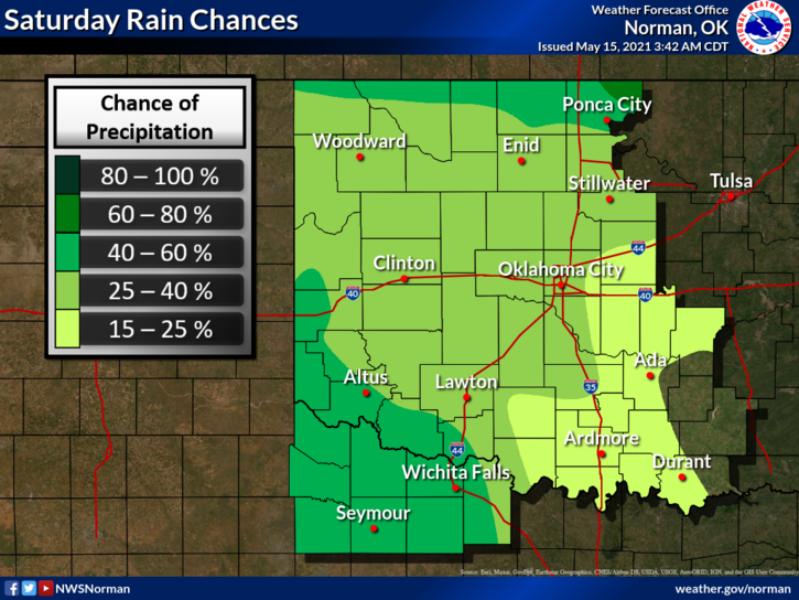
Today-Mostly cloudy. A chance of thunderstorms early in the morning, then a slight chance of thunderstorms in the late morning and afternoon. Highs in the lower 80s. South winds 10 to 15 mph. Chance of thunderstorms 30 percent.
Tonight-Mostly cloudy with a chance of thunderstorms. Lows in the lower 60s. South winds 10 to 15 mph. Chance of thunderstorms 50 percent.
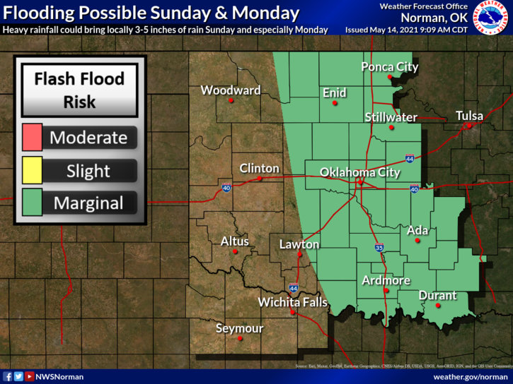
Finally, if the rains come, flooding may become a concern so keep that in mind along with the pooling of water on the roads. Hydroplaning is a problem on all major highways in and around the county so slow down and use extreme caution while driving.
HAVE A GOOD DAY.
MIKE