0345L-SATURDAY OUTLOOK FROM GARFIELD COUNTY EMERGENCY MANAGEMENT-10/10/2020
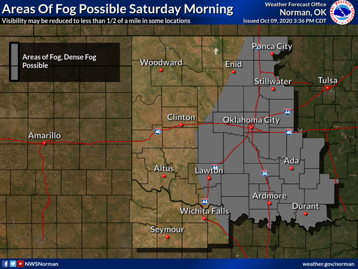
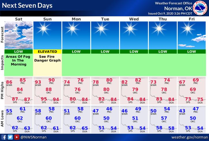
1- The same warm conditions as yesterday are in store for today except with lighter winds. There may also be some fog around the area so if this occurs, slow down and be careful.
2- Strong winds and warm temps on Sunday will be the precursor to a cold front that will move through Sunday night bringing us back down to normal temps for this time of year. No rain is expected. Additional cold fronts are expected around mid-week and then next weekend. We will most likely remain dry through the period.
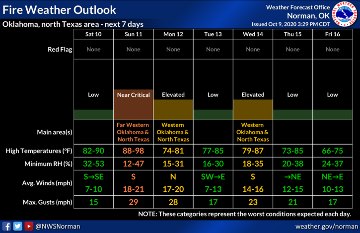
3- The Fire Danger is increasing. Please be careful doing anything that involves fire. If you see smoke or fire, call 911 immediately so a response can be dispatched.
4- Overall, we’ll be ok so enjoy the warm temps as they will give way to cooler temps next week.
Here is your forecast from the NWS/NORMAN;
Saturday- Mostly sunny. Areas of fog in the morning. Highs in the mid-80s. South winds around 10 mph in the morning becoming light and variable.
Saturday Night- Clear. Lows in the upper 50s. Light and variable winds.
HAVE A GOOD DAY!!
MIKE