0410L-SATURDAY UPDATE FROM ENID/GARFIELD COUNTY EMERGENCY MANAGEMENT-10/6/18
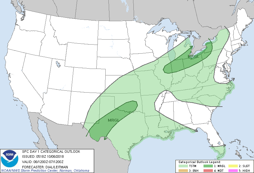
1- At 0400L, the cold front is just north of the county. There are some showers and thunderstorms associated with the front but nothing severe at this time and we aren’t expecting anything severe here. For those going to ball games, make sure you have a rainsuit just in case if you can’t take umbrellas in. Officials will be keeping an eye out in those venues for any lightning & thunder.
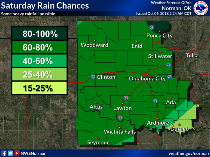
2- Winds will become northerly and temps will fall as the front moves through. Expect some heavy rain activity as the day progresses. It won’t rain all of the time but be prepared just in case. Keep an eye out in low lying areas for possible flooding too.
3- Overall, we’ll be ok so enjoy the rain and cooler temps. We’ll keep an eye out also and advise accordingly.
4- Here is your forecast from the NWS/NORMAN;
Saturday-Showers and possibly a few thunderstorms. Temperature falling to around 56 by noon. North wind 10 to 15 mph, with gusts as high as 25 mph. Chance of precipitation is 80%. New rainfall amounts between a quarter and half of an inch possible.
Saturday Night-Showers and possibly a few thunderstorms. Some of the storms could produce heavy rainfall. Low around 50. North wind 5 to 10 mph. Chance of precipitation is 80%. New rainfall amounts between a quarter and half of an inch possible.
Be sure and download our GARFIELD COUNTY EM app. You’re NOT PREPARED without it.
HAVE A GOOD DAY!!
MIKE