0350L-SATURDAY OUTLOOK FROM GARFIELD COUNTY EMERGENCY MANAGEMENT-9/12/2020
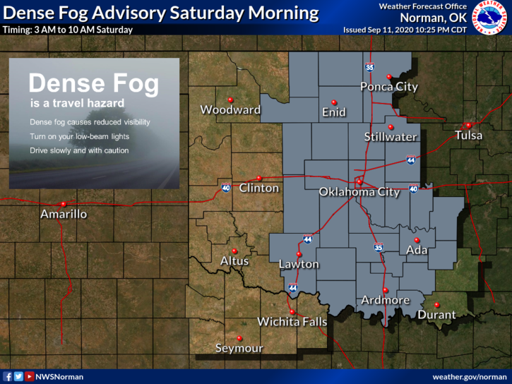
1- DENSE FOG ADVISORY until 10 am this morning. Visibility could be down to ¼ mile at times. Drive with caution.
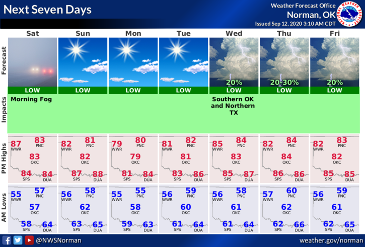
2- It appears we’ll see a warming trend for this next week with highs in the upper 70s to mid-80s. Our lows will average around the mid-50s or so. There is a chance we’ll see a strong cold front around next weekend so we’ll see how this plays out. Overall a pretty nice week.
3- As we dry out, remember that our FIRE DANGER will become apparent again. Stay aware of your surroundings and report any smoke or fire that you come across to 911. Thanks.
4- It looks like we’ll be ok today and over this weekend so here is your forecast FOR TODAY from the NWS/NORMAN;
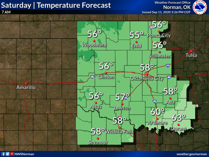
Today-Partly cloudy in the morning then clearing. Warmer. Areas of dense fog early in the morning. Highs in the mid-80s. South winds around 10 mph.
Tonight-Clear. Lows in the upper 50s. Light and variable winds.
HAVE A GOOD DAY!
MIKE