0345L-SUNDAY OUTLOOK FROM GARFIELD COUNTY EMERGENCY MANAGEMENT-9/13/2020
1- The WSR-88D Weather Radar we call the Vance Radar will be down until at least Monday.
2- The Haze will continue as wildfires continue in California and mid and upper level flow continues to bring it over our region.
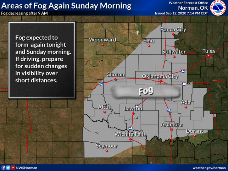
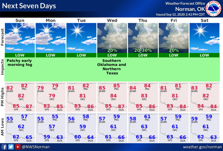
3- As stated yesterday, our highs this week will average between the upper 70s and mid-80s and lows will generally be in the mid-50s. A weak cold front will edge its way into the area this morning but shouldn’t affect temps too much. It will bring in some drier air keeping the fog possibility to a minimum.
4- Here is your forecast from the NWS/NORMAN;
Today-Mostly sunny. Areas of fog early in the morning, then haze in the late morning and afternoon. Highs in the lower 80s. Northeast winds around 10 mph.
Tonight-Clear. Lows in the mid 50s. Light and variable winds.
HAVE A GOOD DAY!!
MIKE