0405L-SUNDAY OUTLOOK FROM GARFIELD COUNTY EMERGENCY MANAGEMENT-4/11/21
1- Warm and breezy with another front on the way. We’ll see temps in the upper 70s to low 80s today before another cold front pushes in late this afternoon and maybe into the early to mid- evening hours. Winds will increase as the front pushes in so expect that bump as winds shift and the front moves through. We may see wind gusts upwards of 30 mph. Other than this, remain vigilant of smoke and fire and call in anything that you might see to 911. Rain chances increase a little this up and coming week so if we get lucky, we might get a drink of water for the area. We’ll have to wait and see. Overall, we’ll be ok so enjoy today and get some sunshine.
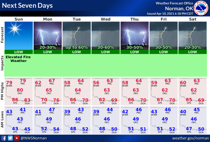
2-Here is your forecast from the NWS/NORMAN;
Sunday-Sunny, warmer. Highs in the lower 80s. South winds 10 to 20 mph.
Sunday Night-Clear. Lows in the mid-40s. North winds 10 to 15 mph.
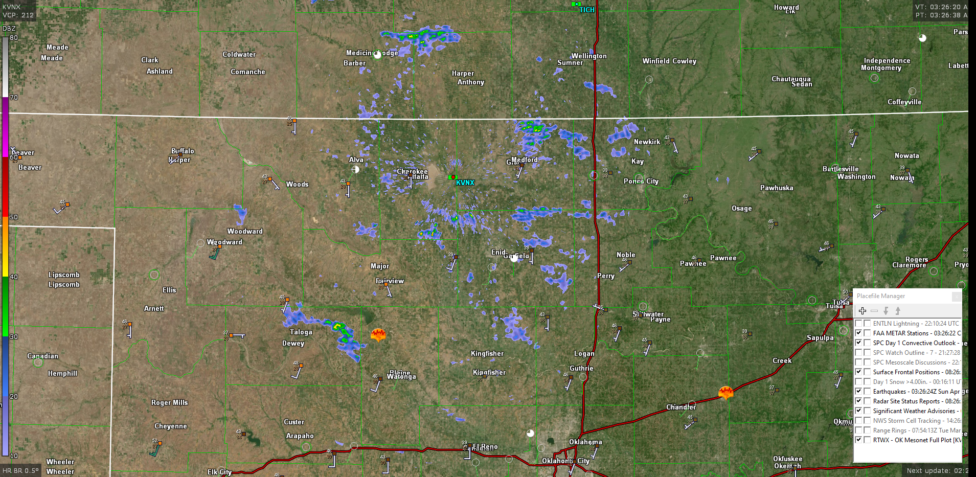
3- I added a radar image showing the wind farms while also realizing we have a fairly strong inversion in the atmosphere. The blue clusters are wind farms all around the area.
Have a good day!!
MIKE
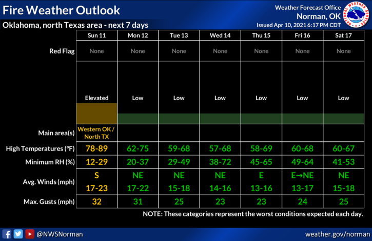
2 GRAPHICS ATTACHED ARE FROM LATE YESTERDAY AS THE NEW GRAPHICS WEREN’T AVAILABLE AT THE TIME OF THIS POST FROM THE NWS.