FROM GARFIELD COUNTY EMERGENCY MANAGEMENT
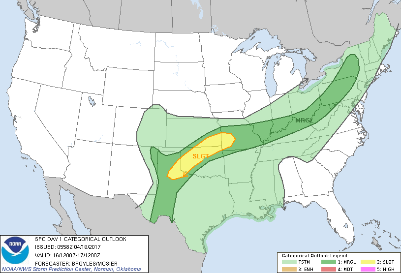
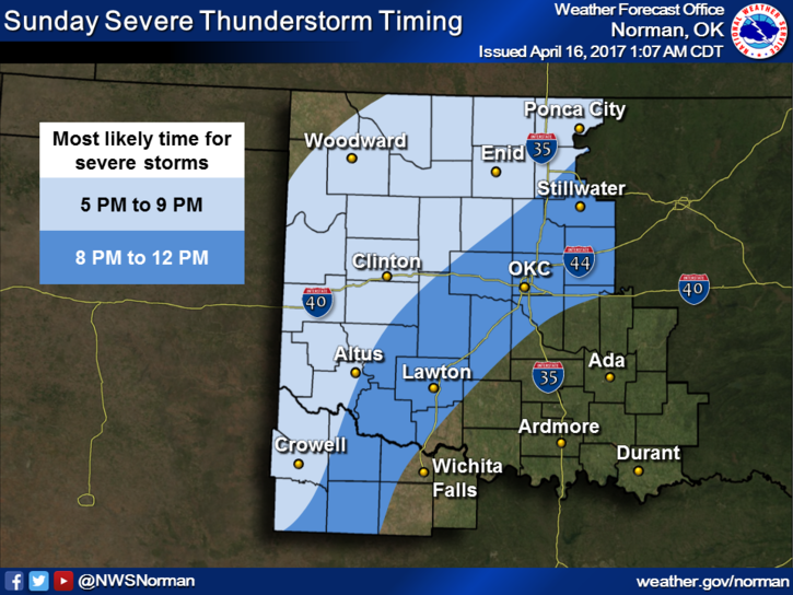
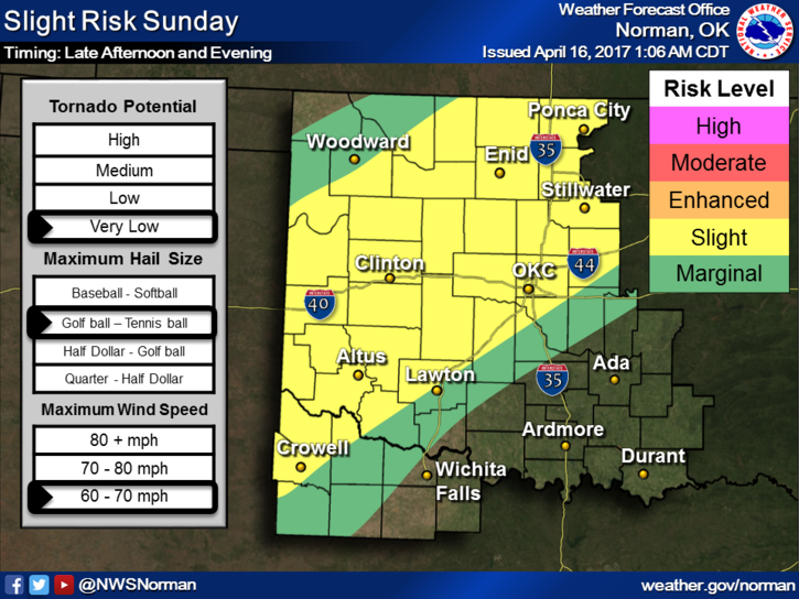
We are in a SLIGHT RISK for severe weather later today. There are storms coming into the state from the north as I type at 0415 this morning. These storms shouldn’t become severe but may put out heavy rainfall. Winds may also be gusty at times. That said, several outflow boundaries could become a focus point for storms later this afternoon. The front involved is just creeping right now and is expected to stall. There are many variables out there that may or may not influence our threats for later today. Too much to speculate on right now. We’ll see what the mid-day data set shows.
What ever happened to faster moving systems?
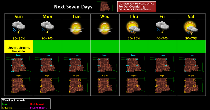
Here is your forecast from the NWS/NORMAN;
Sunday-50 percent chance of showers and thunderstorms. Mostly cloudy, with a high near 72. East southeast wind 8 to 11 mph. New rainfall amounts between a quarter and half of an inch possible.
Sunday Night-50 percent chance of showers and thunderstorms. Cloudy, with a low around 57. East wind 5 to 9 mph. New rainfall amounts between a quarter and half of an inch possible.
HAVE A SUPER DAY
MIKE