0405L-SUNDAY OUTLOOK FROM GARFIELD COUNTY EMERGENCY MANAGEMENT-4/28/19
The weather-it’s complicated. Our GARFIELD COUNTY EM app-you’re prepared with it. You’re not without it. It’s YOUR choice.
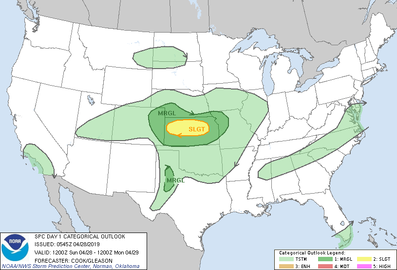
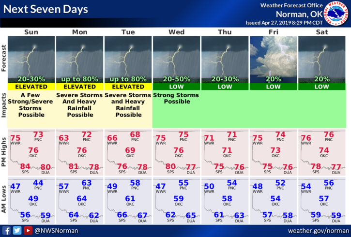
1- We are once again in a GENERAL risk area for thunderstorms later today and tonight. Yesterday’s risk never gelled but tonight might. Storms are expected in central Kansas. They should move east. Storm development in southeastern Colorado is also possible and these are usually the ones that could affect us. MAIN RISKS, if they occur, will be hail and winds.
2- Either way, storms may affect us later today or tonight. Secure anything that could take flight and I will send an advisory around mid-afternoon over our GARFIELD COUNTY EM app noting changes from this morning. It’s a mess either way so we’ll see what happens. No need to panic.
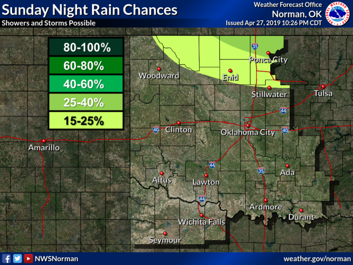
3- Here is your forecast from the NWS/NORMAN;
Sunday-A slight chance of showers and thunderstorms between 7am and 1pm. Partly sunny with a high near 74. East wind 10 to 15 mph becoming south in the afternoon. Winds could gust as high as 20 mph. Chance of precipitation is 20%.
Sunday Night-20 percent chance of showers and thunderstorms late. Mostly cloudy with a low around 62. South wind 10 to 20 mph, with gusts as high as 30 mph.
Finally, don’t change your plans; just stay weather aware later today and tonight. WE WILL SURVIVE!!
MIKE