0335L-SUNDAY OUTLOOK & INFO FROM GARFIELD COUNTY EMERGENCY MGMT-2/2/2020
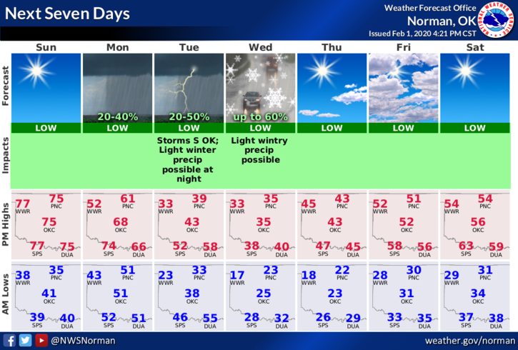
1- A warm day on tap so if you love the warmth get outside and enjoy it. A cold front will push in around mid-day or so Monday and bring very cold air into the area. I wouldn’t get hyped up on precipitation per say right now but there is a chance for various types of winter weather. We’ll see how this mess sets up and then, of course, deal with it. The biggest threat looks to be wind chill temps after the front pushes through. Make sure you have our GARFIELD COUNTY EM app so you stay up to date with the latest information.
2- FIRE WEATHER-WISE- Foliage is still dead out there but soils are a little damp. We still can have fires but have trouble getting to some of them. If you see smoke or fire, call 911 ASAP so a quick response can be dispatched. Thank you in advance for that!!
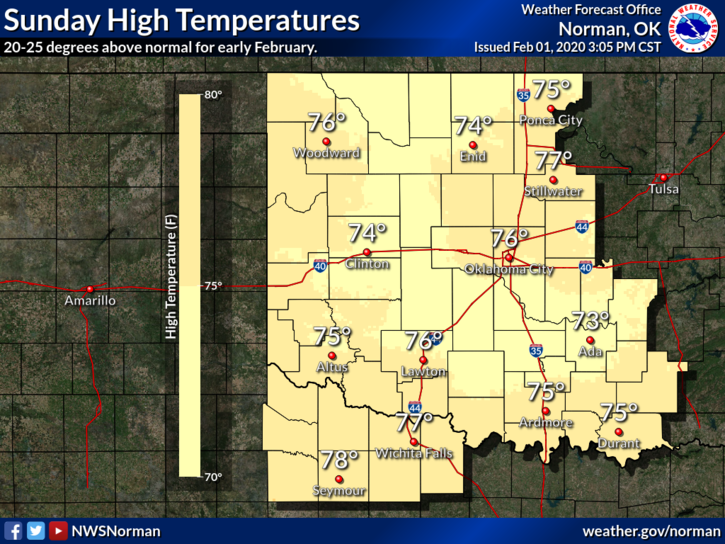
3- Overall for today, enjoy the warmth and stay safe. Here is your forecast from the NWS/NORMAN;
Sunday-Sunny with a high near 74. West-southwest winds 5 to 15 mph becoming south in the afternoon.
Sunday Night-Mostly cloudy with a low around 51. South-southwest winds 15 to 20 mph with gusts as high as 28 mph.
HAVE A GREAT DAY!!
MIKE