0335L-SUNDAY OUTLOOK FROM GARFIELD COUNTY EMERGENCY MANAGEMENT-2/21/21
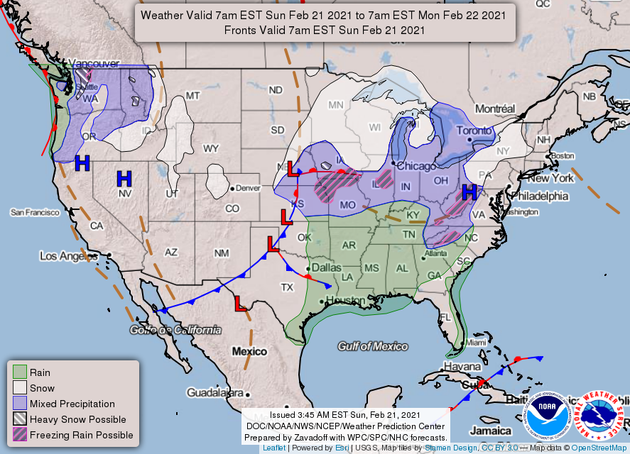
1-Partly cloudy and warmer conditions are in store today. The winds will be up again as a front will push in later this afternoon. Tonight, will be colder with lows back down in the 20s. At least it won’t be below zero!!
2- We had a lot of melting occur yesterday and with the help of the wind, we’ll see quite a bit more today. That said, be careful on the roads and on some sidewalks that haven’t been cleared yet as black ice may occur later Sunday night as freezing temps return.
3- Overall, we’ll be ok. Start that preparedness process so you’ll be better prepared for the next surprise that mother nature can throw at us. Be sure to download our GARFIELD COUNTY EM app. It is that great tool to get this process moving forward.
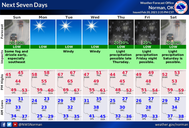
4- Here is your forecast from the NWS/NORMAN;
Today-Partly cloudy. A slight chance of rain and patchy drizzle early in the morning. Not as cool. Highs in the upper 40s. Southwest winds 15 to 20 mph shifting to the northwest in the afternoon. Chance of rain 20 percent.
Tonight-Clear, colder. Lows in the lower 20s. Northwest winds 10 to 15 mph in the evening becoming light and variable.
HAVE A GOOD DAY!
MIKE