0315L-SUNDAY OUTLOOK FROM GARFIELD COUNTY EMERGENCY MANAGEMENT 01/21/24
We may be placed in a winter weather advisory today so don’t be surprised if that happens.
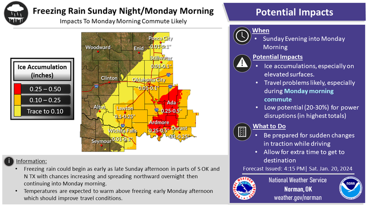
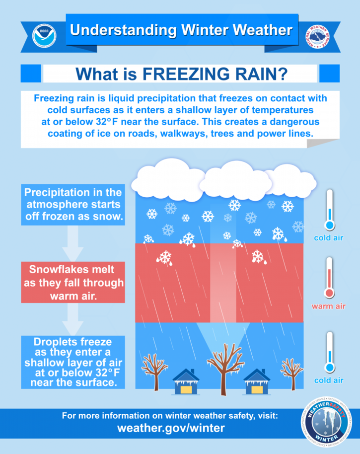
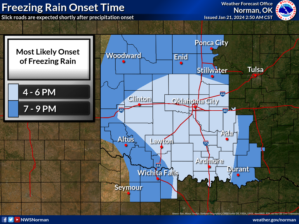
*There are several “IF’S” involved with this post as actual storm track and temps will determine what will actually happen and how folks will react while driving if we see any freezing drizzle or rain. The main issue will not only be air temps but surface temps too. According to the Mesonet, surface temps are at and just below freezing as deep as 4 inches. If we see any precip, especially overnight while below freezing, that precip will freeze. Initially bridges and overpasses will be affected but all surfaces will be slick until we jump above freezing by mid to late morning on Monday.
*Monday night into Tuesday, our forecast lows should be in the mid-30s so if any precip is falling, it should be only rain. The main event will be Sunday night into Monday for freezing precip right now. We should remain above freezing for overnight lows starting Monday night but that will be close. It’s day by day right now.
*OVERALL, if the ground is wet and we are below freezing, it most likely will be slick. Remember that bridges and overpasses will freeze before the actual ground does but as of now, even the ground is frozen. Will advise as needed for our area.
If you don’t have our GARFIELD COUNTY EM app, I strongly advise you to download it.
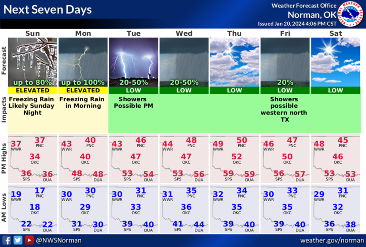
Here is your forecast from the NWS/NORMAN;
Today- Mostly sunny this morning, then becoming mostly cloudy. Highs in the upper 30s. South winds 15 to 20 mph with gusts up to 30 mph.
Tonight- Mostly cloudy. Patchy drizzle and freezing drizzle after midnight. Ice accumulation of up to a tenth of an inch. Cold. Near steady temperature around 30. South winds 15 to 20 mph with gusts up to 30 mph.
HAVE A GOOD DAY!