0400L-SUNDAY OUTLOOK FROM GARFIELD COUNTY EMERGENCY MANAGEMENT-7/10/22
1- Here is your forecast from the NWS/NORMAN;
Today-Sunny. Highs in the upper 90s. East winds 5 to 10 mph.
Tonight-Mostly clear. Lows in the upper 60s. Southeast winds 5 to 10 mph, becoming south after midnight.
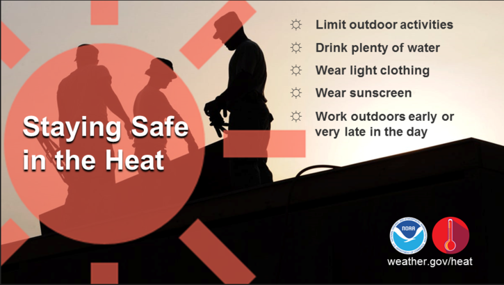
2- Hot temps will prevail through this up and coming week. There is a chance for thunderstorms later on Monday into Tuesday as a cold front will move through. This MIGHT give us a short period of relief, repeating-SHORT. Hot temps will return until the next weekend when there MIGHT be another cold front push in. That is a long way out so we’ll see what happens.
3- Concerning the Medford Incident: when a disaster occurs, LIFE SAFETY is of the utmost importance. Folks in Medford were evacuated in the event any other major explosions were to occur. Thankfully, that didn’t happen. Coordinating with Grant County, ONEOK officials and other emergency services wasn’t difficult as we all train for these kind of incidents. I was requested to respond to help in a support position within the UNIFIED COMMAND STRUCTURE. I took a Kremlin rescue team up there with me since we weren’t for sure what was going to be needed and they had personnel available at the time. They assisted in the evacuation process.
Damage assessment will be an ongoing process for a while. One important thing to remember, when disaster strikes, it’s important to NOT spread rumors or hearsay as to what is happening if you don’t have those facts. It took roughly an hour or so to determine what resources were needed and what resources that responded could be sent home along with actual intel on the situation. Facts is what we deal with and those will be released by the entities involved as time allows and moves forward. This is what we do.
HAVE A GOOD DAY!