0405L-SUNDAY OUTLOOK FROM GARFIELD COUNTY EMERGENCY MGMT-6/21/2020
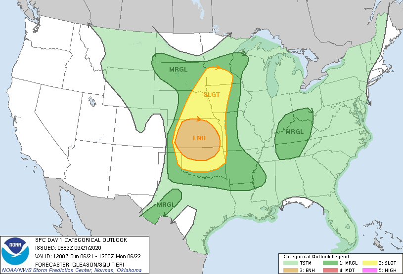
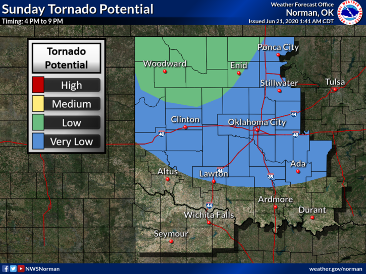
1- MARGINAL RISK for severe weather early this morning and then we will be in an ENHANCED RISK for severe weather from roughly 4pm through the overnight hours. Main risks will be winds-60-80 mph, large hail, and a low possibility for isolated tornadoes as storms from Kansas move into Oklahoma later this afternoon and evening.
2-Believe it or not, the fire danger will be around as winds increase and humidity drops a little. Though nominal, anything above the ground will dry out so be very careful. All the rain we received was a good thing but it will restrict us from getting into most fields out there. Hopefully nothing happens.
3- Here is your forecast from the NWS/NORMAN;
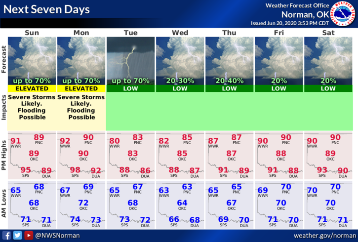
Today-Partly cloudy. 20% chance of thunderstorms early in the morning. Highs in the mid-90s. South winds 10 to 20 mph with higher gusts.
Tonight-Mostly cloudy with thunderstorms likely. Some thunderstorms may be severe in the evening. Lows in the upper 60s. Southeast winds 10 to 20 mph. Chance of thunderstorms is 70 percent.
DIRECTORS COMMENT
I would like to thank Janice Burns for bringing us some chips and granola bars for the firefighters. Long term firefighting can make you hungry so these will help keep the energy levels up. Anyone else that wants to do the same, please contact me directly.
Have a good day and we’ll keep an eye out & advise accordingly for storms later this afternoon.
MIKE