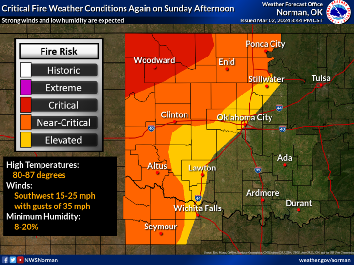
0340L-SUNDAY OUTLOOK FROM GARFIELD COUNTY EMERGENCY MANAGEMENT 03/03/24
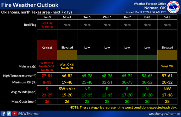
*We have been upgraded from a Fire Weather Watch to a RED FLAG WARNING in effect from 12 noon until 9 pm this evening. Winds gusting upwards of 35 mph along with low humidity around 12%, and temps around 80 will help aid in wildfire activity. For those that did controlled burns yesterday, please go back out and make sure the body and perimeters of your burn are completely out. Winds give smoldering embers new life which create new fires.
*We ask that NO CONTROLLED BURNING OCCUR TODAY since we have been upgraded to the RED FLAG WARNING.
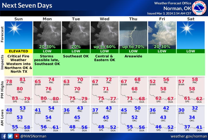
*We do expect a front to push in Monday morning but as it appears right now, it will cool us off a little and we don’t expect any precip. Overall, we’ll be ok so here is your forecast for today from the NWS/NORMAN;
Today- Sunny, breezy with highs around 80. Southwest winds 15 to 25 mph with gusts up to 35 mph.
Tonight- Mostly clear. Lows in the lower 50s. South winds 15 to 20 mph with gusts up to 30 mph.
Have a good day!