0425L-SUNDAY UPDATE FROM ENID/GARFIELD COUNTY EMERGENCY MANAGEMENT-5/27/18
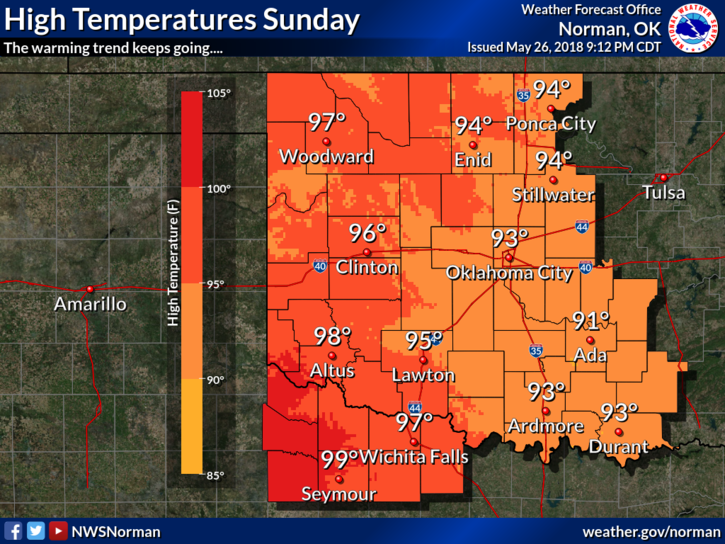
1- Another warm to hot day on tap so be very care out there.
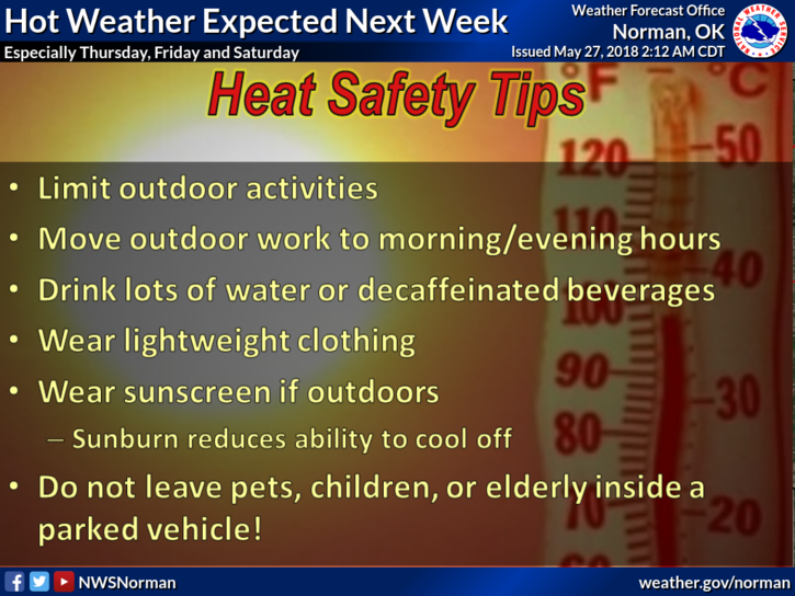
2-Yesterday, I put a HEAT INDEX graph on my post and today I am adding a HEAT SAFETY TIPS graphic from the NWS. Save it also!! Believe it or not, there are some folks that need reminding. Since we’re talking heat, temps this week will slowly increase where we will end up in the triple digits by late week. Be very care when working outdoors.
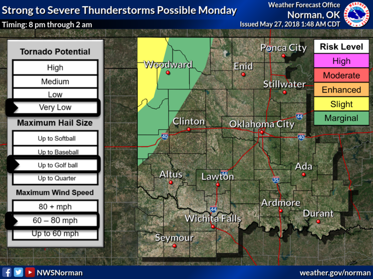
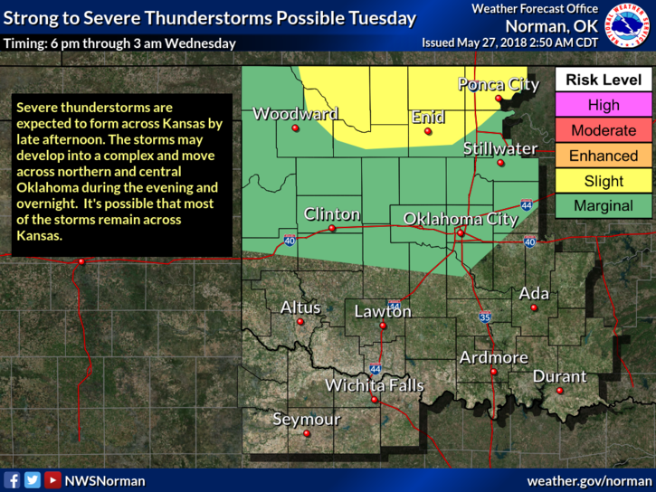
3- Rain comes back into the forecast Monday and Tuesday evenings here in the county. Both appear to be evening and overnight events. As it looks right now and remember that this may change, main threats will be hail and wind. We’ll see what develops.
4-Here is your forecast from the NWS/NORMAN;
Today-Sunny, with a high near 93. Southeast wind 5 to 15 mph, with gusts as high as 20 mph.
Tonight-Mostly clear, with a low around 68. Southeast wind 5 to 15 mph.
STAY SAFE!!
MIKE