0400L-SUNDAY OUTLOOK FROM GARFIELD COUNTY EMERGENCY MANAGEMENT-10/17/21
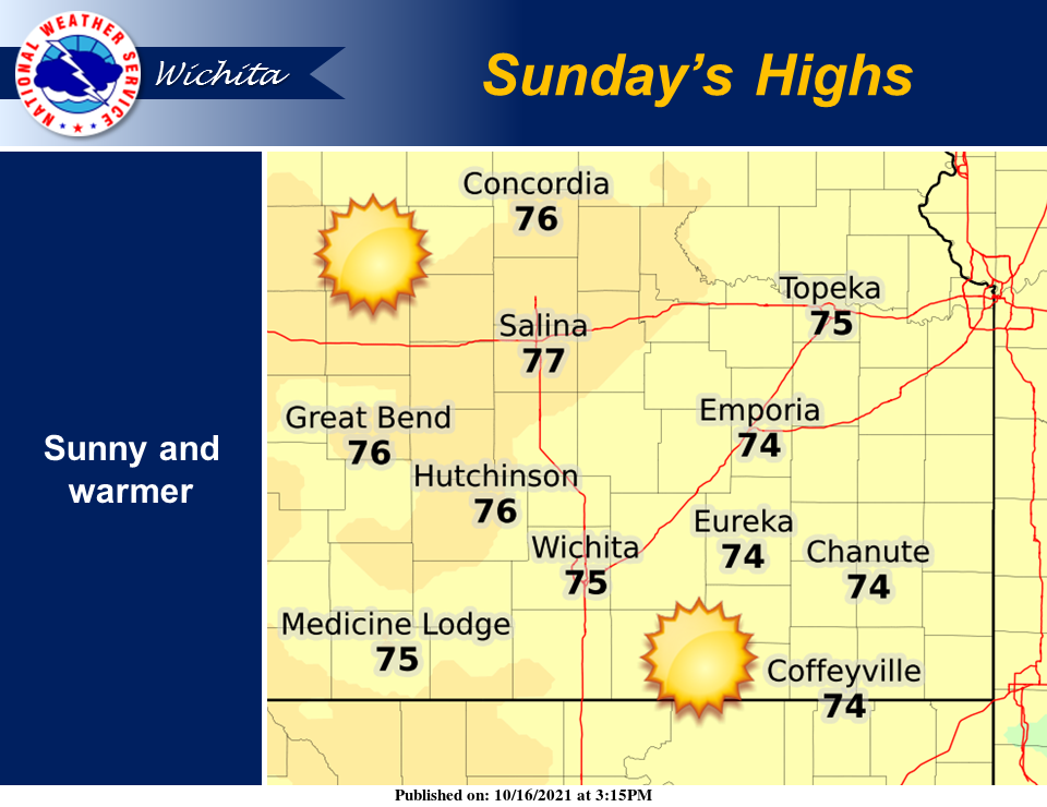
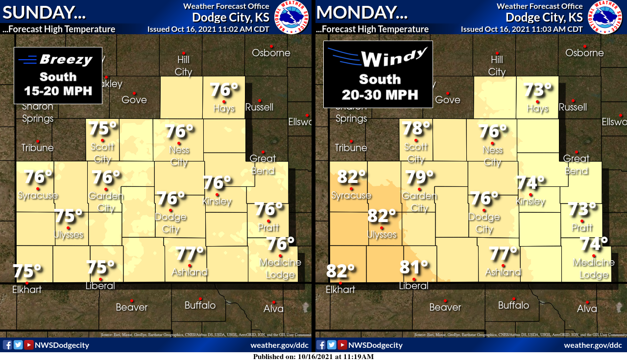
1- A warmer day on tap with highs in the mid to upper 70s. Winds will be nominal but starting Monday, winds will increase as another cold front is heading our way and should affect the area sometime Tuesday evening into the overnight hours. Rain is not likely here but we’ll keep an eye out just in case.
2-The Fire Danger is increasing and with strong winds in the forecast, it’s not out of the question that if any fire does occur, it could get out of control fairly quickly. If you see smoke or fire, call 911. They should know whether it was a controlled or uncontrolled situation. Either way, they can get the proper response headed that way.
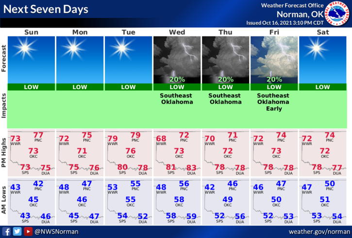
3- Overall, continue to enjoy this cooler weather and here is your forecast from the NWS/NORMAN;
Sunday-Sunny, with a high near 76. South southwest wind 5 to 15 mph.
Sunday Night-Clear, with a low around 45. South wind 5 to 10 mph.
STAY SAFE
MIKE