0415L-SUNDAY OUTLOOK & INFO FROM GARFIELD COUNTY EMERGENCY MANAGEMENT 10/20/19
1-Our notification app-GARFIELD COUNTY EM is your opportunity to be as prepared as possible by receiving info from Local Public Safety Officials and the NWS. Your level of Preparedness depends on YOU!!
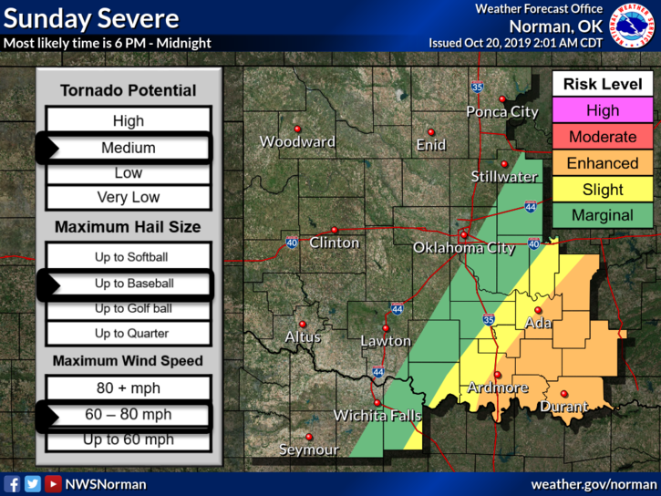
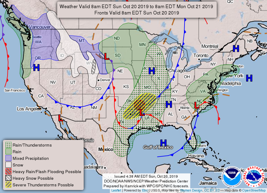
2- A warm day on tap with a low chance for rain later this evening as another front pushes into the area. This front will cause severe weather in southeastern Oklahoma later tonight so if you are in that area, pay close attention to weather conditions.
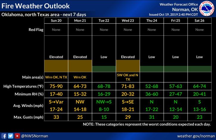
3- REMEMBER– Vance weather radar will go offline tomorrow for about 3 weeks FOR A MAJOR UPGRADE. We’ll keep you advised.
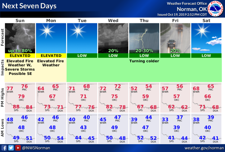
4- Here is your forecast from the NWS/NORMAN;
Sunday- Increasing clouds with a high near 78. South winds 10 to 20 mph gusting to 28 mph.
Sunday Night-20 percent chance of showers and thunderstorms before 1am. Lows in the mid 40s. Northwest winds 10 to 15 mph gusting to 20mph.
HAVE A GOOD DAY!!
MIKE