0400L-THURSDAY OUTLOOK & INFO FROM GARFIELD COUNTY EMERGENCY MGMT-4/23/2020
1- First of all thank you for all the comments on the satellite pic. I guess I’m normal after all. Second, thanks for all of the hail pics. These help immensely when doing reports on weather events across the county.
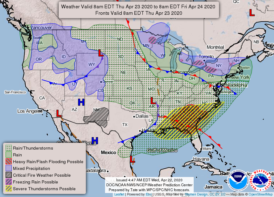
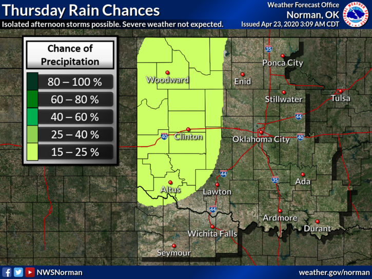
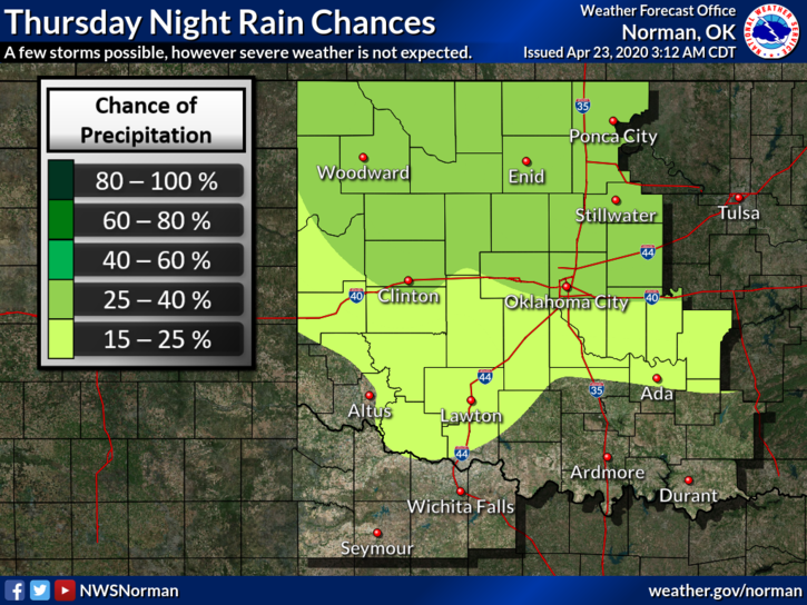
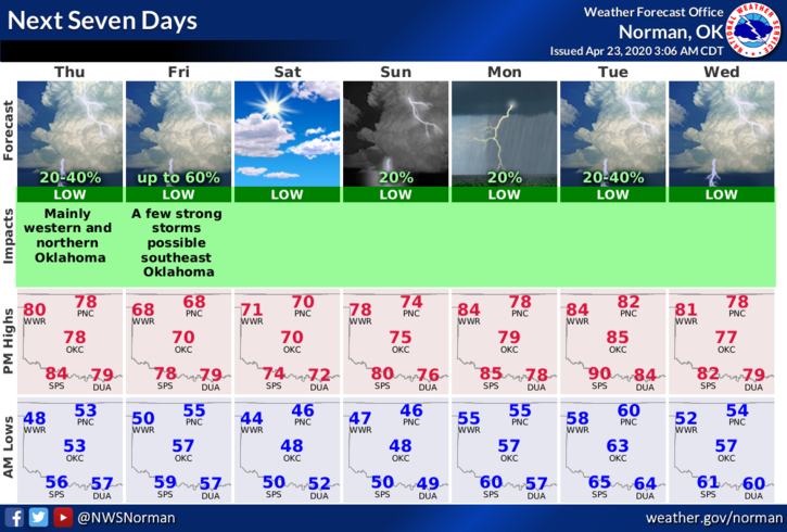
2- We are in a GENERAL thunderstorm risk area for later today and tonight. We aren’t expecting any severe storms but we do expect some activity later this evening, overnight, and into Friday. A cold front will again affect the area on Friday giving us a chance for more storms. We’ll see how this mess comes together. By the way, I had a total of 1.4 inches of rain yesterday. How about you all? Be sure and empty your gauge today so you’re ready for tonight.
3- Here is your forecast from the NWS/NORMAN;
Today-Mostly sunny. Warmer. Highs in the lower 80s. Light and variable winds becoming west around 10 mph in the afternoon.
Tonight-Partly cloudy. Isolated thunderstorms in the evening, then a chance of rain showers after midnight. Lows in the lower 50s. South winds around 10 mph. Chance of precipitation 40 percent.
HAVE A GREAT DAY!
MIKE