0345L-THURSDAY OUTLOOK AND INFO FROM GARFIELD COUNTY EMERGENCY MGMT-8/22/19
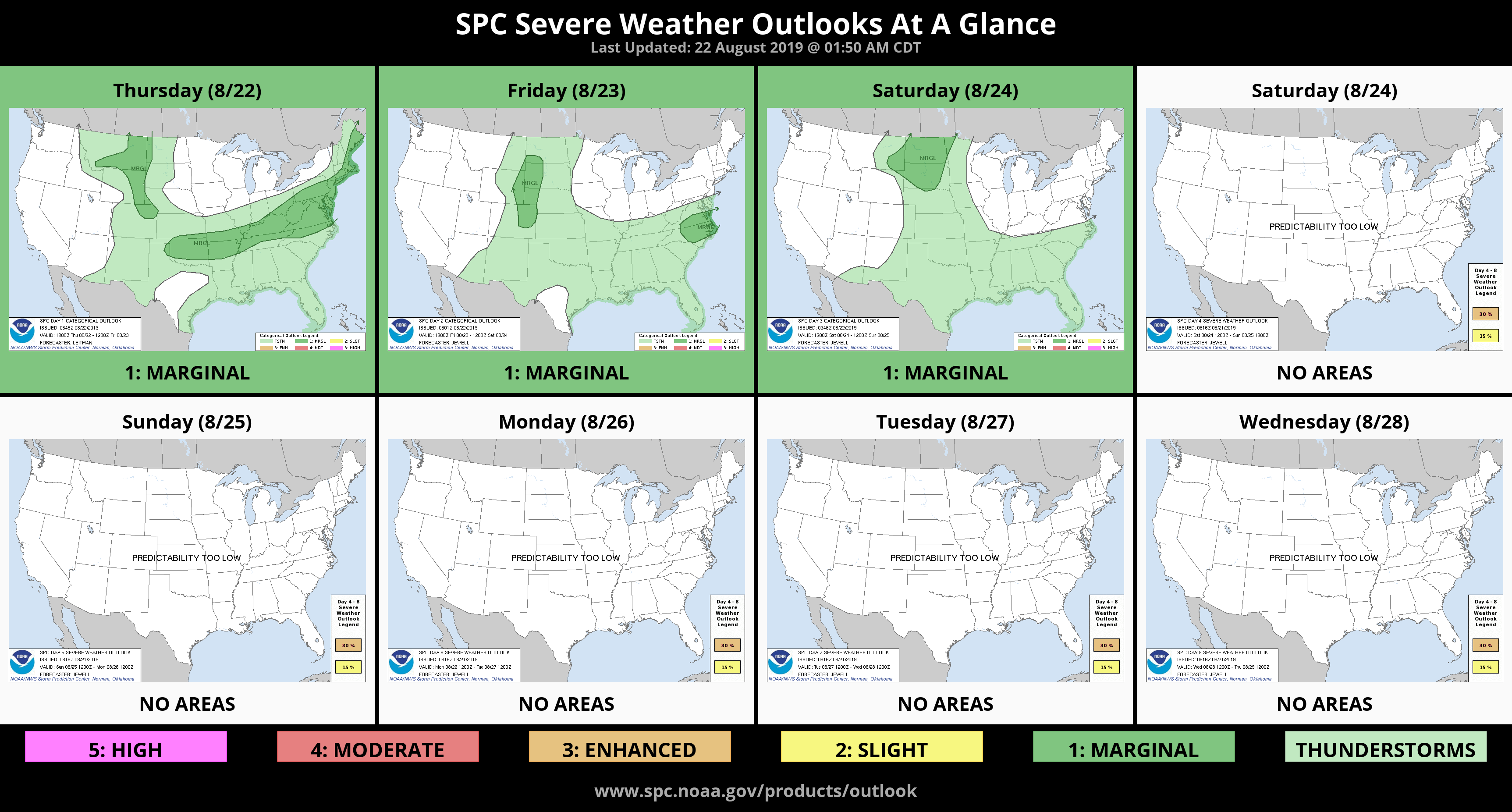
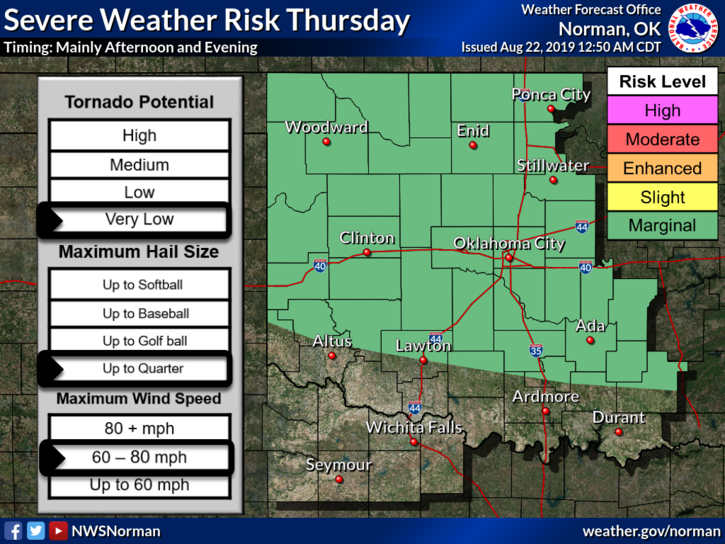
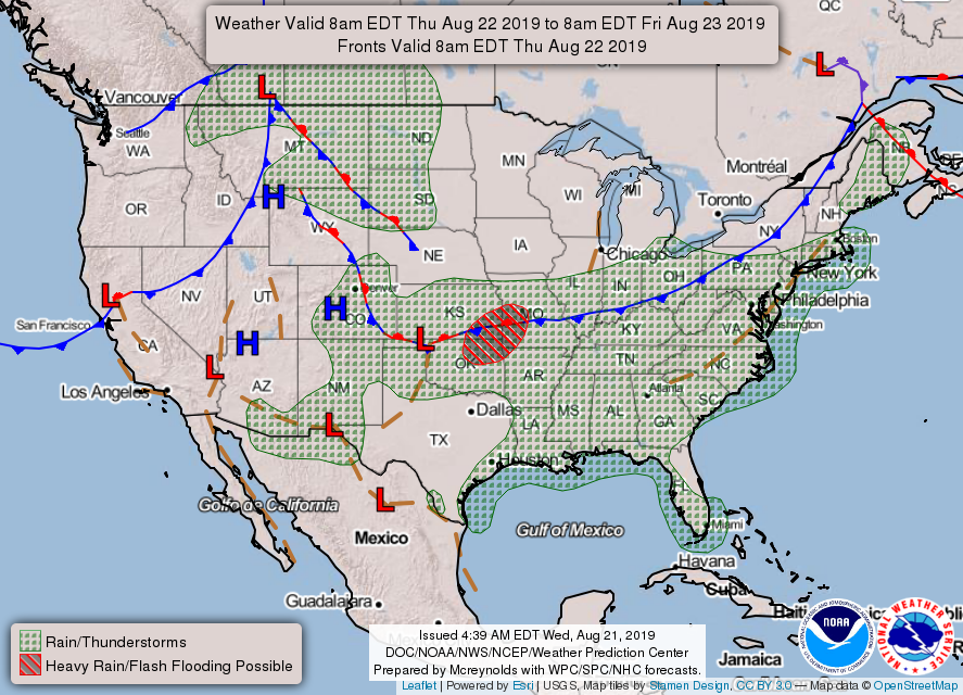
1- MARGINAL RISK FOR SEVERE WEATHER WITH TORRENTIAL RAINFALL, DOWNBURST WINDS, AND POSSIBLY HAIL BEING THE MAIN ISSUES MAINLY THIS AFTERNOON. With convection this morning, we’ll have to see how this may affect this afternoon’s weather. Outflow boundaries will play a role in today’s weather too. We are in a very moist atmosphere so rainfall may be very heavy at times. Pay attention in low lying areas as flash flooding could occur.
2- For your information concerning winds– a downburst that spans a distance less than 2.5 miles in diameter is considered a microburst. Microbursts last for about five minutes and can cause wind speeds in excess of 160 mph. Downbursts that span greater than 2.5 miles in radius are called macrobursts. Either way, the winds can cause a lot of damage.
3-This morning, we can expect periods of heavy rainfall and gusty winds. FROM ROUGHLY 3:05am through 3:30am, we received just under ¾ of an inch of rainfall. More is expected this morning. Later this afternoon, we can expect possibly some severe weather. We’ll see what happens. Enjoy the rain as we do need it.
4- Here is your forecast from the NWS/NORMAN;
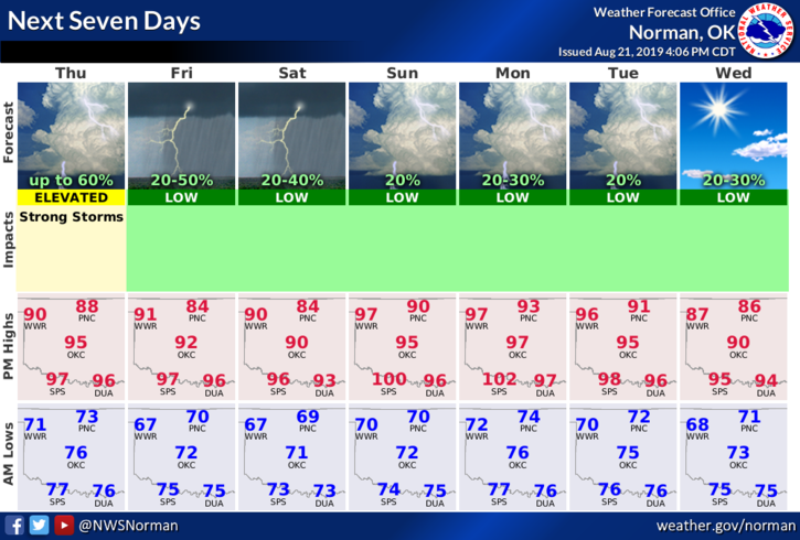
Thursday-40 percent chance of showers and thunderstorms. Mostly cloudy with a high near 94. South wind around 10 mph.
Thursday Night-40 percent chance of showers and thunderstorms. Mostly cloudy with a low around 70. Southeast wind 5 to 10 mph.
STAY WEATHER AWARE!!
MIKE