0355L-WEDNESDAY OUTLOOK & INFO FROM GARFIELD COUNTY EMERGENCY MANAGEMENT-8/21/19
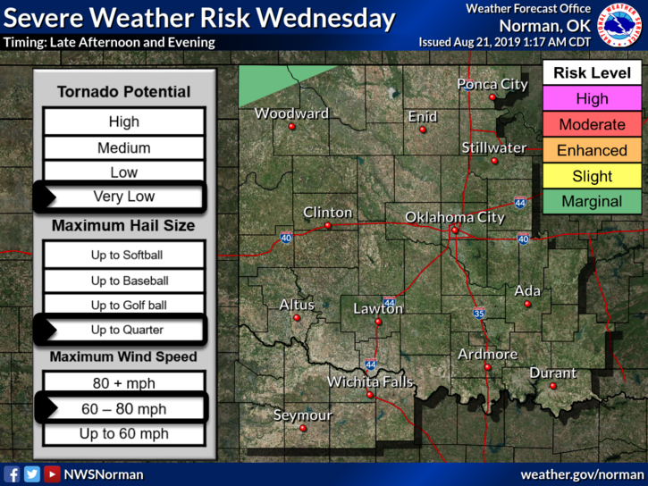
1- GENERAL RISK for thunderstorms today and more likely tonight. We’ll have a better chance on Thursday. Heavier weather is expected in Kansas and Nebraska so if you plan on heading up that way, check forecasts carefully.
2- If storms do occur here today, torrential rainfall, winds-due to collapsing storms, and possibly hail will be the main threats. Overall, a little rain here and there would be nice.
3- HEAT ADVISORY IN EFFECT TODAY FROM NOON TO 9PM TONIGHT. STAY HYDRATED AND PACE YOURSELF WHILE WORKING OUTSIDE.
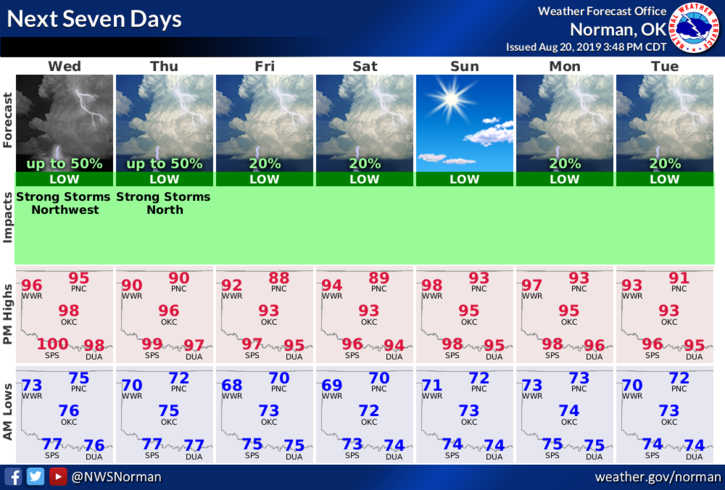
4- Here is your forecast from the NWS/NORMAN;
Wednesday-Sunny and hot with a high near 98. Heat index values as high as 101. South wind 5 to 10 mph.
Wednesday Night-30 percent chance of showers and thunderstorms. Mostly cloudy lows around 73. South wind 5 to 10 mph.
GARFIELD COUNTY EM=PREPAREDNESS. Don’t be unprepared.
HAVE A GOOD DAY!!
MIKE