FROM GARFIELD COUNTY EMERGENCY MANAGEMENT-THURSDAY-11/21/17
GIFT yourself our GARFIELD COUNTY EM app. You may need some of the features it has in the near future and it won’t cost you anything!
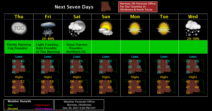
The cold front is expected sometime this afternoon. Colder air will filter in and we’ll see overnight lows initially in the upper 20’s. That changes a little over the weekend when lows will hover around the 18-20 degree mark, possibly lower. As it looks per guidance, daytime highs will be a touch warmer as the forecast verifies. The models are still not in total agreement so we’ll see how this mess comes together.
After fielding several calls and texts, I would recommend that you read, if you have time, the FORECAST DISCUSSIONS from our surrounding NWS OFFICES. Follow this link- https://gcem.org/links/ and under weather links on our site, you can click on any of the offices that surround our state. When it comes to fronts, I recommend the NWS/NORMAN, DODGE CITY, and WICHITA.
Here is your forecast for today from the NWS/NORMAN;
Thursday… mostly cloudy. patchy fog in the morning. highs in the lower 50s. west winds around 10 mph shifting to the northwest in the afternoon.
Thursday night… mostly cloudy. colder. lows in the upper 20s. north winds around 15 mph with gusts up to 25 mph.
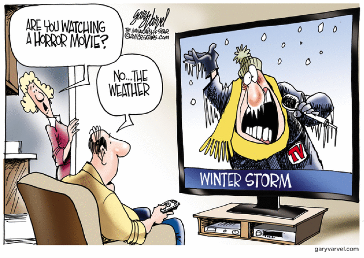
FINALLY: If anything looks to change in a dramatic way, I’ll do a PANIC THE PUBLIC video. NOT REALLY but we’ll advise as needed.
HAVE A GREAT DAY!!
MIKE