0355L-THURSDAY OUTLOOK FROM GARFIELD COUNTY EMERGENCY MGMT-7/16/2020
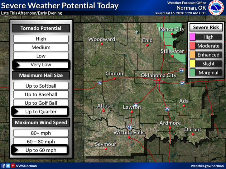
1-GENERAL RISK FOR SEVERE WEATHER TODAY. Thunderstorms may affect the area within a few hours. These have been increasing in intensity in western Oklahoma and a few may be severe by the time they get here. The atmospheric environment is unstable right now and will support heavy rainfall, lightning, gusty winds, and hail.
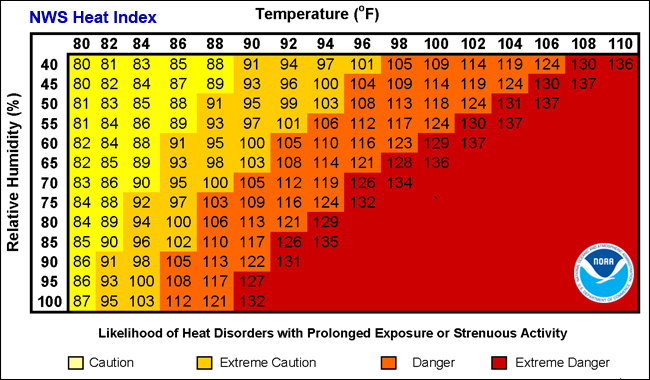
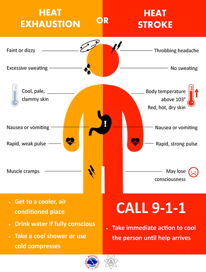
2- We will be hot and humid so if you have to work outdoors, just pace yourselves and stay hydrated. I’ll continue to post heat index and heat illness graphics.
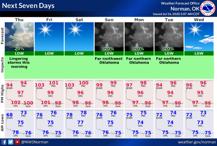
3- Here is your forecast from the NWS/NORMAN;
Today-Partly cloudy. 40% chance of thunderstorms early in the morning. Highs in the upper 90s with a heat index around 106. East winds around 10 mph.
Tonight-Mostly clear. Lows in the mid 70s. Southeast winds around 10 mph.
Finally, storms are moving towards us at the time of this writing, 0350L so just be prepared for some bumpy weather in a little while.
HAVE A GREAT DAY!!
MIKE