0410L-WEDNESDAY OUTLOOK & INFO FROM GARFIELD COUNTY EMERGENCY MGMT-7/15, 2020
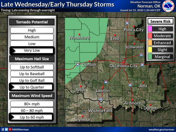
1-GENERAL RISK AREA for severe weather later tonight and overnight. If storms occur, expect winds and hail to be the main threats along with torrential rainfall within the larger cells. The storms will come off of the high plains of southern Colorado and New Mexico. We’ll see what happens as today moves on.
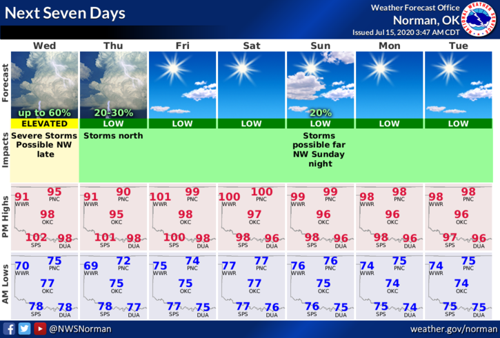
2- It will be cooler as we had a cold front move through overnight. That said, here is your forecast from the NWS/NORMAN;
Today-Decreasing clouds. A slight chance of thunderstorms early in the morning. Highs in the upper 90s. North winds around 10 mph. Chance of thunderstorms 20 percent.
Tonight-Partly cloudy. A chance of thunderstorms after midnight. Lows in the lower 70s. Northeast winds around 10 mph. Chance of thunderstorms 50 percent.
HAVE A GOOD DAY!!
MIKE