0355L-THURSDAY UPDATE FROM ENID/GARFIELD COUNTY EMERGENCY MANAGEMENT-7/26/18
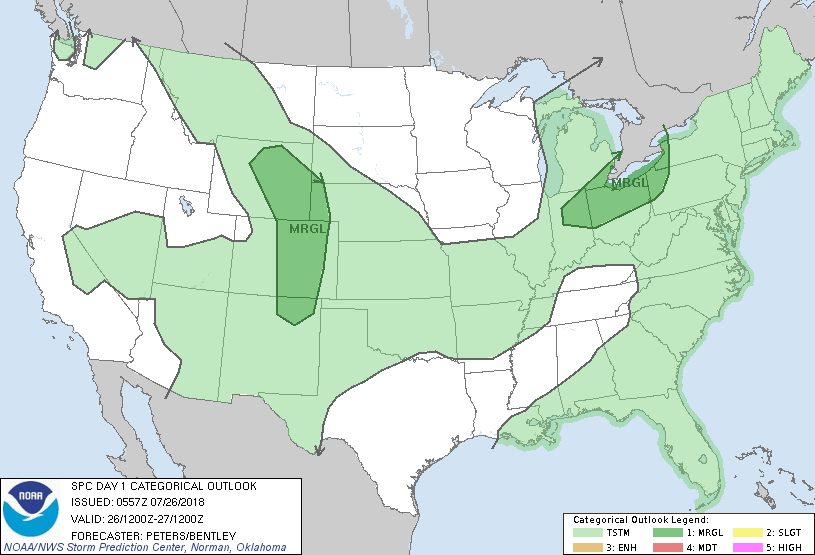
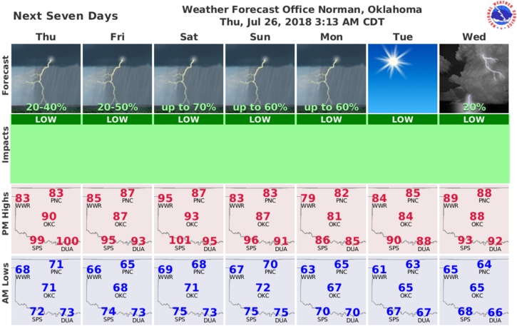
1-COOLER WITH THE POSSIBILITY OF SHOWERS AND MAYBE A THUNDERSTORM. We don’t expect any severe weather during the day but that could change later tonight if storms occur. We’ll watch, wait, and see. By the way, we are in a GENERAL THUNDERSTORM RISK AREA.
2-A front will push into the area and could be a focus point for storms later today. There are several boundaries out there so we’ll just have to see where things fire up!
3- Overall, we’ll keep an eye out and we should be just fine.
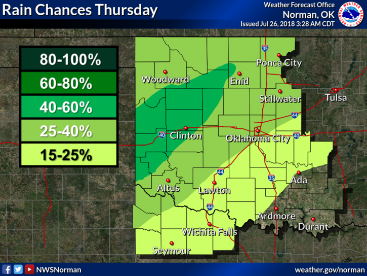
4- Here is your forecast from the NWS/NORMAN;
Today-Mostly cloudy. A chance of showers with isolated thunderstorms this morning, then a slight chance of showers and thunderstorms this afternoon. Not as warm. Highs in the upper 80s. Northeast winds around 10 mph. Chance of precipitation 40 percent.
Tonight-Mostly cloudy with a chance of showers and thunderstorms. Lows in the mid 60s. Northeast winds around 10 mph in the evening becoming light and variable. Chance of precipitation 30 percent.
HAVE A SUPER DAY!!
MIKE