0415L-THURSDAY UPDATE FROM ENID/GARFIELD COUNTY EMERGENCY MANAGEMENT-6/7/18
1- THERE IS A DECENT CHANCE WE MAY SEE A FEW THUNDERSTORMS THIS MORNING. Storms just to our NW appear to be making a southeast push now so we may catch a portion of the initial line.
2- When these storms make it to the area, a few may become severe with winds being the main threat along with the possibility of some hail.
3- Overall, we’ll be ok BUT WE’LL MONITOR THESE CLOSELY.
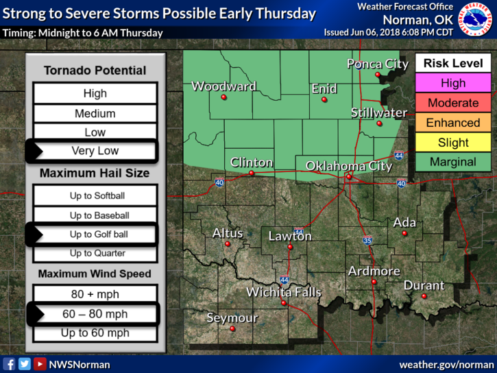
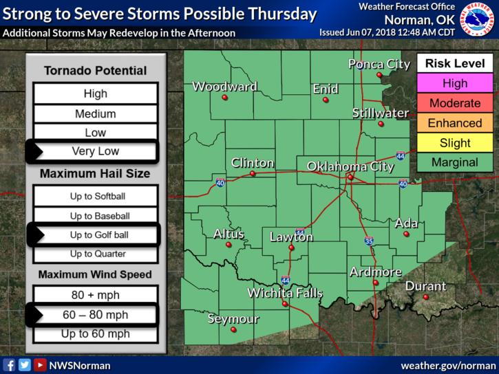
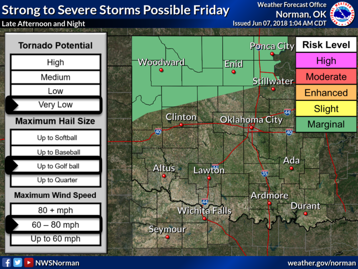
4- We will be hot today and along with the heat index, it may feel BRUTAL out there so be careful. The graphs attached show our risks for severe weather for today and Friday. Hang in there folks, we’ll ride this out together!!
5- Here is your forecast from the NWS/NORMAN;
Thursday- 30 percent chance of showers and thunderstorms, mainly between 10am and 1pm. Some of the storms could be severe. Partly sunny with a high near 93. South -southeast wind 10 to 20 mph with gusts as high as 25 mph.
Thursday Night-30 percent chance of showers and thunderstorms, mainly before 1am. Cloudy, then gradually becoming partly cloudy with a low around 71. South wind 10 to 20 mph with gusts as high as 25 mph.
I will do a live broadcast if things appear to possibly get really nasty out there.
HAVE A GREAT DAY!!
MIKE