0405L-THURSDAY OUTLOOK FROM GARFIELD COUNTY EMERGENCY MANAGEMENT-5/20/21
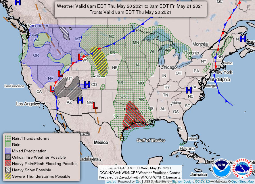
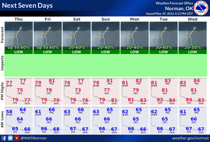
1- GENERAL THUNDERSTORM risk today. We aren’t expecting severe weather but if in fact it does occur, quarter size hail and winds would be the main threats. Other than that, expect periods of rainfall throughout the next 7 days from 20 to 60 percent chance category.
2- With a tropical atmosphere in place, rainfall wherever it occurs may be heavy so watch for flash flooding if that occurs in your area. Overall, we’ll be ok so stay weather aware.
3- As stated yesterday, radar on our GARFIELD COUNTY EM app has been shut down. That feed no longer exists. We are in the process of rebuilding the Local Weather part of our app with a new radar feature. UNTIL THEN, I use a program called RADARSCOPE as a separate app on my phone. I am SUGGESTING this for you all if you want an app that gives you good detail. I am including a link. This app will cost you about 10 bucks but it’s the one I use until I get to my computer. Here is the link- https://www.radarscope.com.au/guide/what-is-radarscope-pro Make sure you have a good internet connection and make sure you keep your phones updated. Keep in mind that there are others out there so shop around for what will work for you.
Here is your forecast from the NWS/NORMAN;
Today-Mostly cloudy. A slight chance of thunderstorms early in the morning, then a chance of thunderstorms late in the morning. A slight chance of thunderstorms early in the afternoon. Highs in the upper 70s. Southeast winds around 10 mph. Chance of thunderstorms 30 percent.
Tonight-Mostly cloudy. Lows in the lower 60s. Southeast winds around 10 mph.
HAVE A GOOD DAY!!
MIKE