0330L-THURSDAY OUTLOOK FROM GARFIELD COUNTY EMERGENCY MANAGEMENT-11/21/19
1- The Vance WSR 88D weather radar is down again for some reason. It went down yesterday after a short outage for maintenance was performed. Technicians will be out there working on the problem today. Hopefully they will get it operational soon.
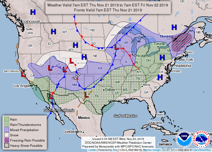
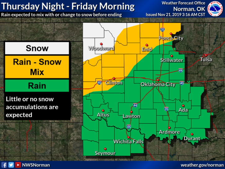
2- A cold front is pushing into the area as I type this morning and it will bring cloudy and cooler conditions during the day. Another wave will come in later tonight with a chance for a wintry mix.
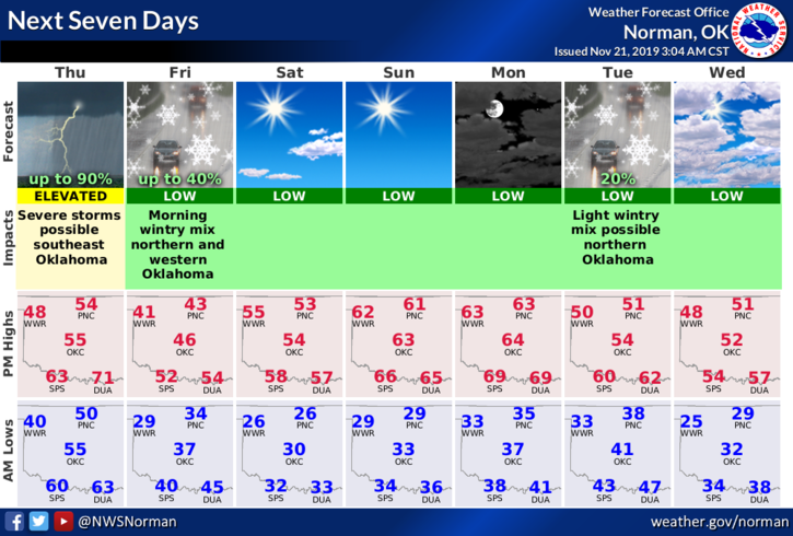
3- Here is your forecast from the NWS/NORMAN;
Today-Partly cloudy until late afternoon then mostly cloudy with a slight chance of rain showers and isolated thunderstorms. Cooler with highs in the mid-50s. North winds around 15 mph. Chance of precipitation 20 percent.
Tonight- Rain showers likely in the evening then rain showers or snow likely after midnight. Colder with lows in the lower 30s. North winds 10 to 15 mph. Chance of precipitation 70 percent.
“GARFIELD COUNTY EM” IS OUR EMERGENCY NOTIFICATION APP. YOU’RE NOT PREPARED WITHOUT IT!!