0355L-TUESDAY OUTLOOK & INFO FROM GARFIELD COUNTY EMERGENCY MGMT. 8/13/19
Be sure to download our “GARFIELD COUNTY EM” app. NWS warnings, advisories, etc. automatically come through. Your better prepared with it, than without it!!
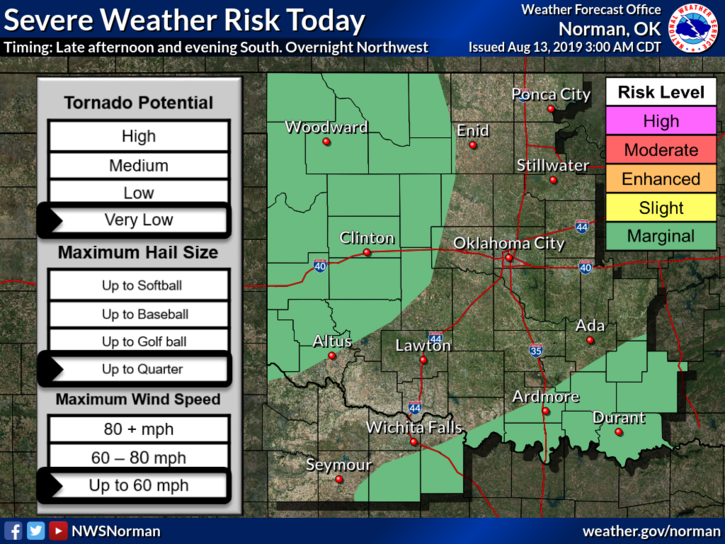
1- MARGINAL RISK FOR STRONG THUNDERSTORMS AGAIN LATE TUESDAY EVENING & OVERNIGHT. WIND AND HAIL WILL BE THE MAIN THREATS. I’LL UPDATE LATER TODAY AS THE FORECASTS VERIFY.
2- As for the storms late yesterday, if you sustained damage, please send us your info preferably over the DAMAGE REPORT part of our app. Thank you.
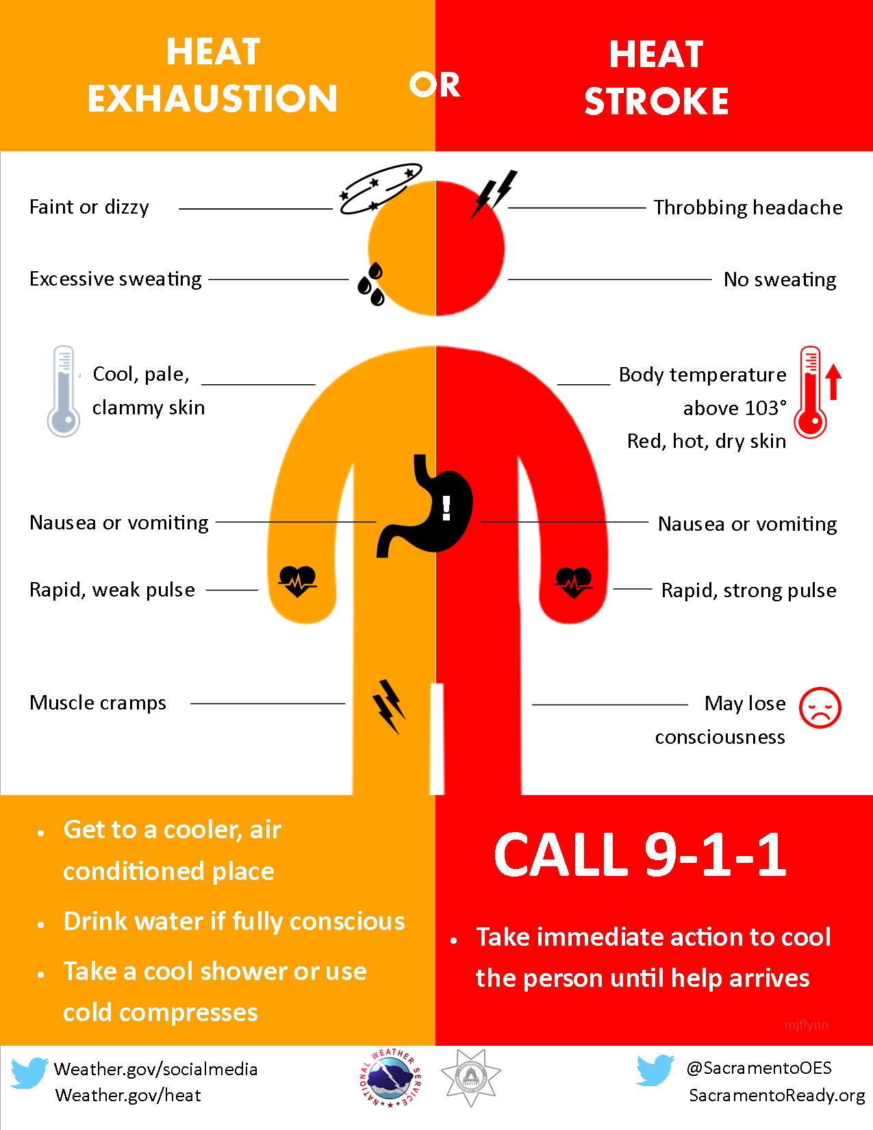
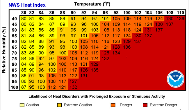
3- We will be cooler today but it will remain humid so continue to use caution while working outdoors.
4-INFORMATION- Why do we ask for damage information? Many things can happen during thunderstorms. Micro and macro-bursts, straight-line winds, collapsing storms, etc. I ask for this because we need to know exactly what happened. The info you send me is analyzed by us and the NWS. Some folks will say will say it had to be a tornado which isn’t always the case. We just want to know for sure. Help us to help you understand what happened.
5-Here is your forecast from the NWS/NORMAN;
Tuesday-30 percent chance of showers and thunderstorms before 1pm. Partly sunny with a high near 91. Heat index values as high as 97. Northeast wind around 10 mph.
Tuesday Night-Partly cloudy with a low around 68. East northeast wind 5 to 10 mph becoming calm after midnight.
HAVE A SUPER DAY!!
MIKE