0340L-TUESDAY OUTLOOK FROM GARFIELD COUNTY EMERGENCY MANAGEMENT-8/16/22
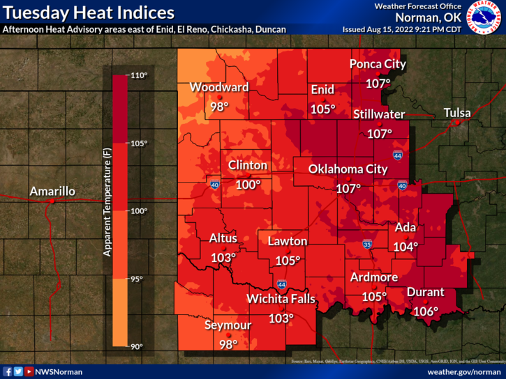
1-HEAT ADVISORY IN EFFECT FROM NOON TODAY UNTIL 7PM THIS EVENING
2-Here is your forecast from the NWS/NORMAN;
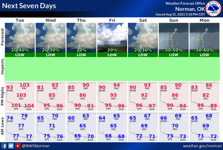
Today-Sunny. A slight chance of showers and thunderstorms this afternoon. Hot with highs around 102. Southwest winds 10 to 15 mph, becoming west this afternoon. Chance of rain 20 percent.
Tonight-Partly cloudy with a slight chance of showers and thunderstorms in the evening, then mostly cloudy with a chance of showers and thunderstorms after midnight. Lows in the upper 60s. North winds 10 to 15 mph with gusts up to 25 mph. Chance of rain 30 percent.
3-The front should push in sometime between 10 and 2 pm but the cooler air will be a little behind. Wednesday’s high looks to be in the upper 70s to low 80s. That’ll be a nice change. There will be a chance for thunderstorms with this passage later today into the overnight hours so be prepared for possibly some noise out there.
4- Overall, we’ll be ok so we’ll see how all this mess comes together.
HAVE A GOOD DAY!