0255L-TUESDAY OUTLOOK FROM GARFIELD COUNTY EMERGENCY MANAGEMENT-08/03/21
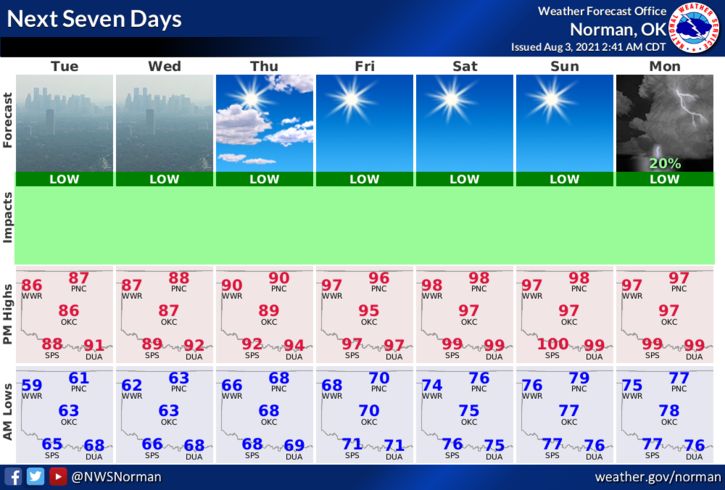
1-NICE COOLER WEATHER will persist through roughly Thursday. The only exception will be the haze. The haze is due to smoke from wildfires in the northwestern U.S. and Canada and we are under northwest flow aloft. Thursday, per guidance is our transition day to warmer temps, higher humidity, and muggy conditions.
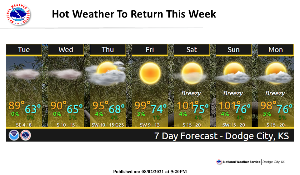
2- High temps will return by this weekend into the mid to upper 90s with the heat index over 100 degrees. And you all thought summer was over… Overall, we’ll be ok but just don’t forget to stay hydrated if you work outdoors. Here is your forecast from the NWS/NORMAN;
Today-Sunny, haze. Highs in the upper 80s. Light and variable winds becoming east around 10 mph in the afternoon.
Tonight-Mostly clear. Haze. Lows in the lower 60s. East winds around 10 mph in the evening becoming light and variable.
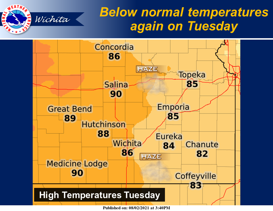
3- I want to remind everyone that I get my information from forecast discussions from the NWS/NORMAN, NWS/WICHITA, and NWS/DODGE CITY. We are in between all of them.
4- Be sure and download our GARFIELD COUNTY EM app. It’s loaded with great information for preparedness purposes and advisories and warnings from the NWS/NORMAN automatically push through when issued.
HAVE A GOOD DAY!
MIKE