0330L-TUESDAY OUTLOOK & INFO FROM GARFIELD COUNTY EMERGENCY MGMT-2/18/2020
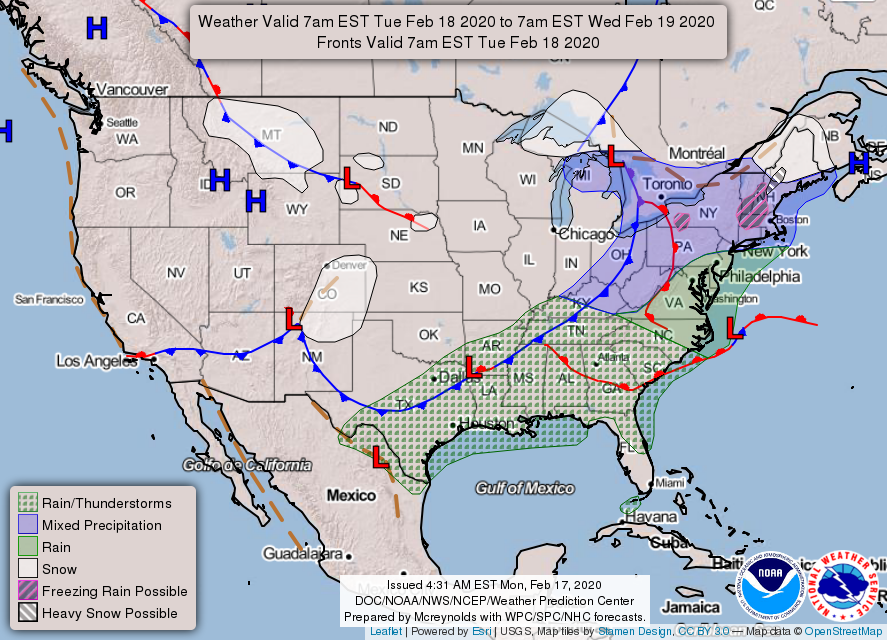
1- Cloudy and colder will be the norm for the next several days. Sunshine will be hit and miss until late Thursday into Friday then rain is possible for the weekend. Don’t worry folks, hot and humid weather is just around the corner and then we’ll deal with severe weather, skeeters, and other flying pests. Won’t it be great?
2- Until then, we’ll be cooler with that threat for a snowflake or two mixed with a few water droplets. Overall, we’ll be ok so nothing major to worry about.
3- Be sure to download our GARFIELD COUNTY EM app. You’re not prepared without it.
4- Here is your forecast from the NWS/NORMAN;
Tuesday-Mostly cloudy and cooler with a chance of sprinkles or flurries in the morning. Highs in the mid-40s. North winds around 15 mph gusting to 25 mph.
Tuesday Night-Partly cloudy with lows in the upper 20s. Northeast winds 10 to 15 mph.
HAVE A GOOD DAY!!
MIKE